A Method for Estimating the Water Surface Width of a Mountainous Reservoir
A mountainous and river channel technology, applied in the field of estimation of river water surface width in mountainous reservoir areas, can solve the problems of river width increase, estimation limit, water level rise, etc.
- Summary
- Abstract
- Description
- Claims
- Application Information
AI Technical Summary
Problems solved by technology
Method used
Image
Examples
Embodiment 1
[0150] Taking the Changhua Watershed in Zhejiang Province as an example, the Changhua Watershed is located in the northwest of Zhejiang Province, with a watershed area of 905 km 2, belongs to the hilly area in western Zhejiang. The water system of the river basin is developed. There are many rocks and large boulders at the bends of the rapids. The basin climate is a typical subtropical monsoon climate, with abundant rainfall throughout the year and obvious seasonal changes. The average annual rainfall in the basin is 1638.2 mm. The digital elevation data (DEM) in the study area of this example adopts the 90m resolution STRIM (Shuttle RadarTopography Mission) data jointly provided by the National Space Administration (NASA) and the National Mapping Agency (NIMA) of the Department of Defense.
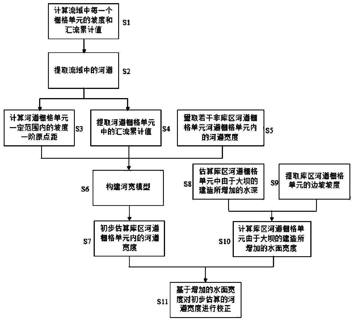
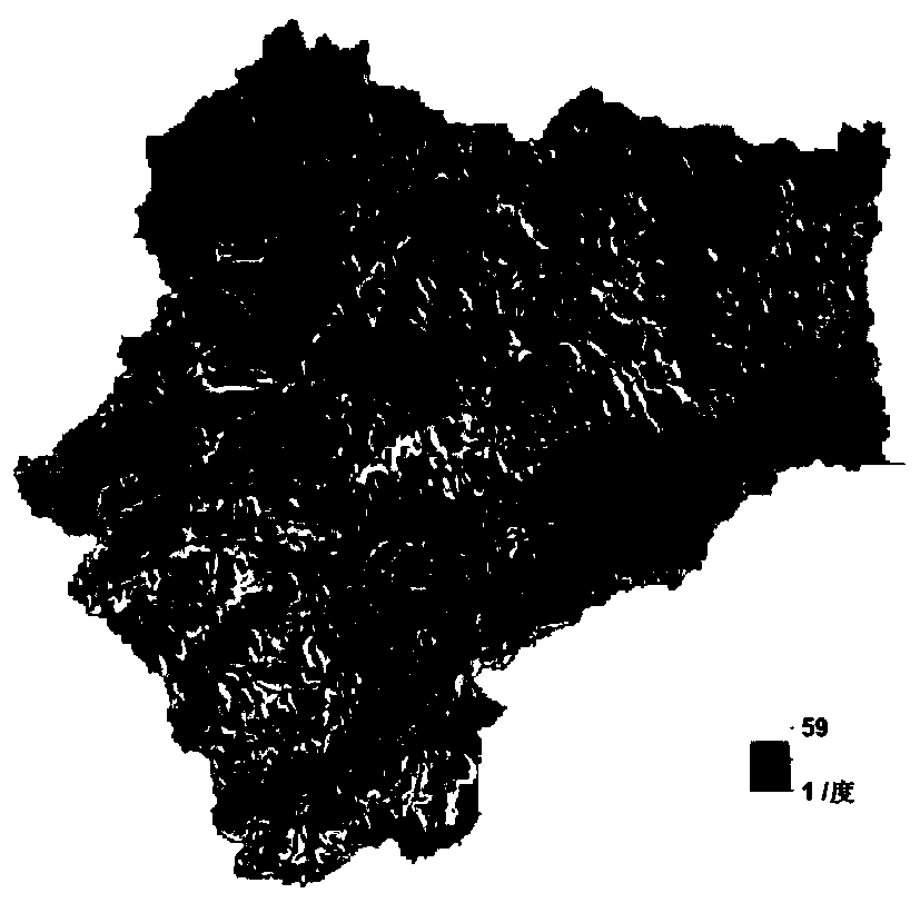
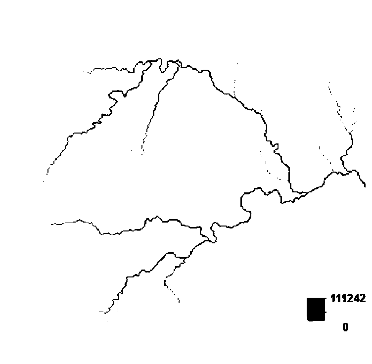
[0151] Step S1, use the DEM data of the watershed to calculate the slope and the cumulative value A of each grid cell in the watershed, and draw according to the slope of all the grid...
PUM
 Abstract
Description
Claims
Application Information
 - R&D
- Intellectual Property
- Life Sciences
- Materials
- Tech Scout
- Unparalleled Data Quality
- Higher Quality Content
- 60% Fewer Hallucinations
Browse by: Latest US Patents, China's latest patents, Technical Efficacy Thesaurus, Application Domain, Technology Topic, Popular Technical Reports.
© 2025 PatSnap. All rights reserved.Legal|Privacy policy|Modern Slavery Act Transparency Statement|Sitemap|About US| Contact US: help@patsnap.com


