WNLCS imaging method facing satellite-borne geographic reference strip SAR
A geographical and space-borne technology, applied in the direction of radio wave reflection/re-radiation, using re-radiation, measuring devices, etc., to facilitate azimuth signal focusing processing and eliminate azimuth dependence
- Summary
- Abstract
- Description
- Claims
- Application Information
AI Technical Summary
Problems solved by technology
Method used
Image
Examples
Embodiment
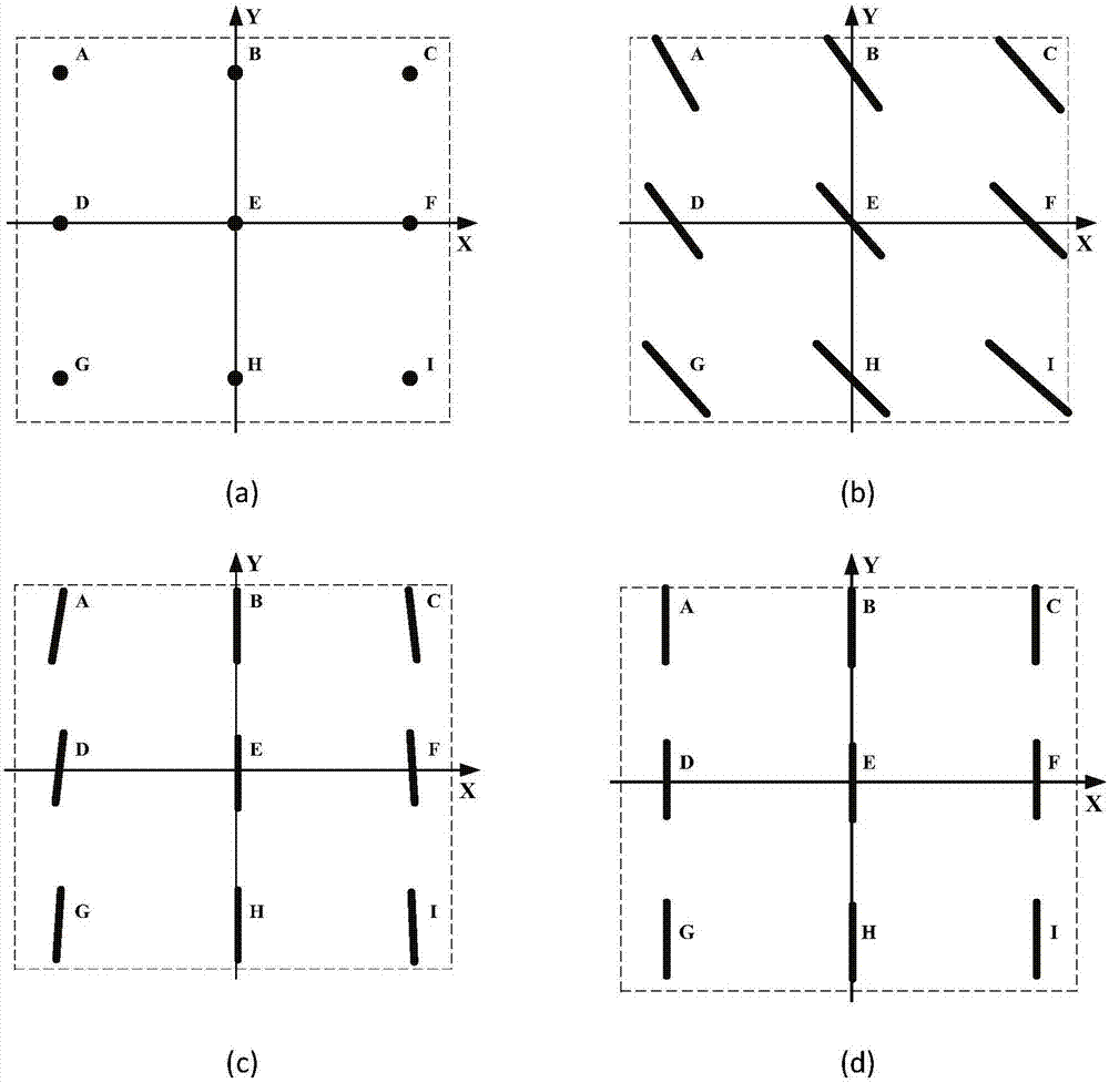
[0131] In the embodiment of the present invention, it is assumed that the size of the satellite-borne geographic reference strip SAR observation area is 40km × 50km (distance × azimuth), and 25 objects to be observed are evenly distributed in this area, such as Figure 6 shown. The main performance parameters, system parameters and space parameters of the simulation experiment are shown in Table 1.
[0132] Table 1. List of simulation parameters of spaceborne georeferenced strip SAR
[0133]
[0134] Step 1, based on the parameters in Table 1, Figure 6 In the simulated target distribution and the target echo expression shown in formula (4), carry out the simulation of the satellite-borne geographic reference strip SAR echo data, and obtain the scene echo data E s . Calculate the range quadratic phase compensation filter F according to the parameters in Table 1 and formula (6) RC , for the echo data E s Carry out Fourier transform in azimuth to get the distance spectru...
PUM
 Abstract
Description
Claims
Application Information
 - R&D
- Intellectual Property
- Life Sciences
- Materials
- Tech Scout
- Unparalleled Data Quality
- Higher Quality Content
- 60% Fewer Hallucinations
Browse by: Latest US Patents, China's latest patents, Technical Efficacy Thesaurus, Application Domain, Technology Topic, Popular Technical Reports.
© 2025 PatSnap. All rights reserved.Legal|Privacy policy|Modern Slavery Act Transparency Statement|Sitemap|About US| Contact US: help@patsnap.com


