
A charging pile layout method for unmanned aerial vehicles flying along mission routes

A layout method, UAV technology, applied in data processing applications, forecasting, instruments, etc., to achieve the effect of simple algorithm, uninterrupted flight, and good versatility

Active Publication Date: 2020-03-24
CENT SOUTH UNIV
View PDF3 Cites 0 Cited by
  • Summary
  • Abstract
  • Description
  • Claims
  • Application Information

AI Technical Summary

Problems solved by technology

However, the limitation of this method is that it can only optimize its endurance time, and cannot fundamentally solve the problem of unmanned aerial vehicles with long endurance and uninterrupted flight missions.

Method used


Image

  • A charging pile layout method for unmanned aerial vehicles flying along mission routes
  • A charging pile layout method for unmanned aerial vehicles flying along mission routes
  • A charging pile layout method for unmanned aerial vehicles flying along mission routes

Examples


Embodiment Construction

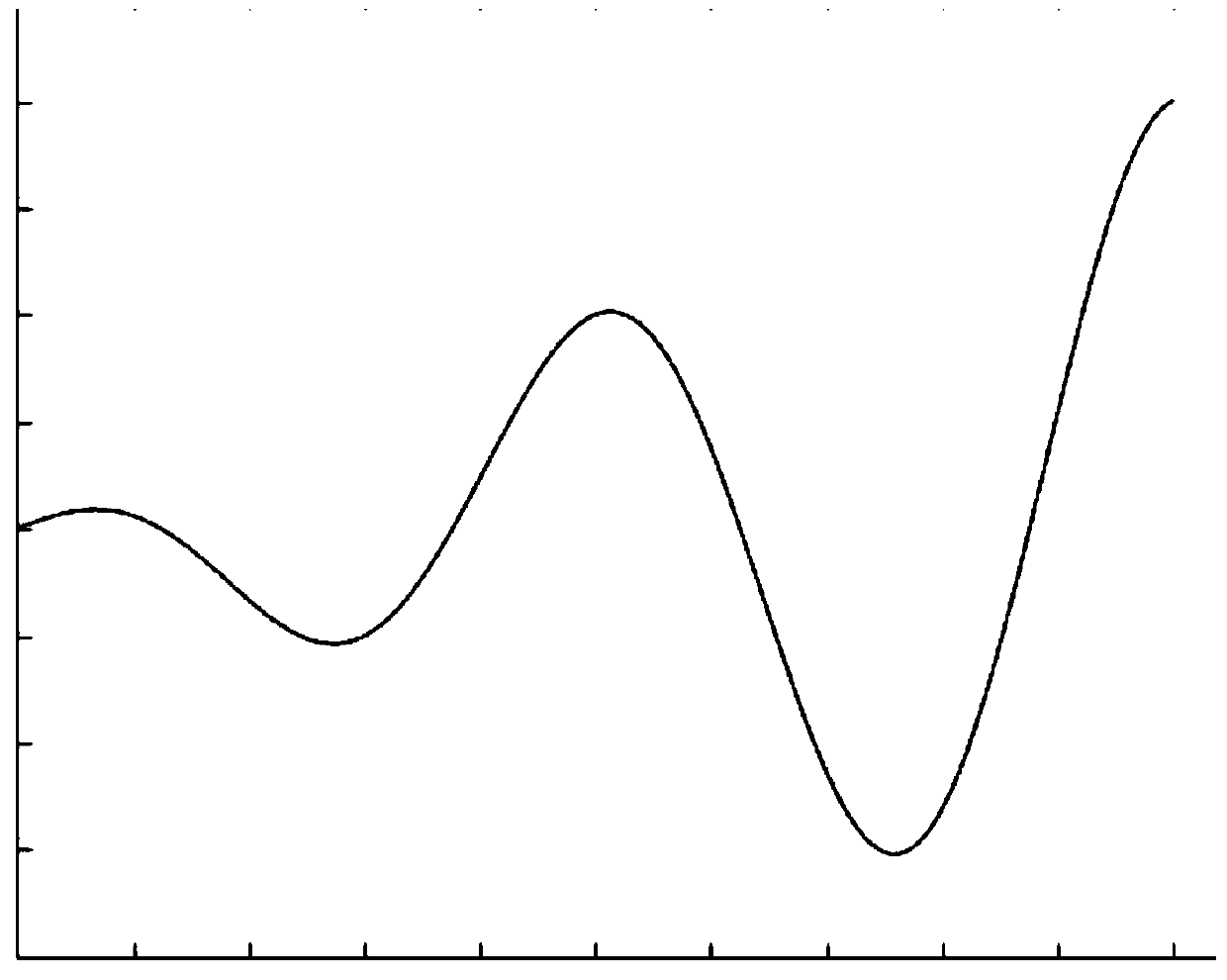
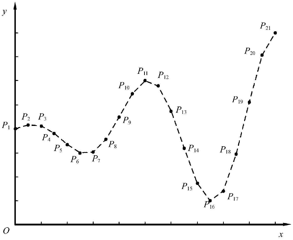
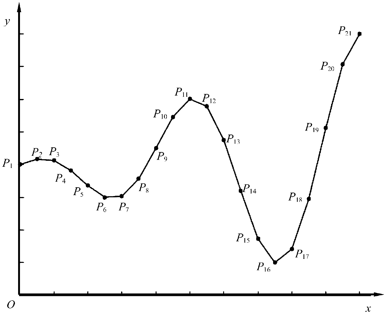
[0056] For the layout of charging piles where UAVs fly along the designated mission route, the process includes the following five steps: the first step is to place the designated mission route in the first quadrant of the coordinate system, and set the mission route from the starting position to the end point A series of landmark points on the above, the adjacent landmark points are connected with straight lines, and the general formula ax+by+c=0 of the straight line equation is used to obtain the straight line equation of the adjacent landmark points; the second step is to use the rectangular coordinate system between two points The distance formula calculates the length of the line segments of two adjacent points in turn, and adds the lengths of all the line segments to calculate the total length of the line segments; the third step, according to the given UAV parameters (cruising speed V P , the user sets a single flight time T P ) Calculate the maximum range of the UAV, a...


PUM


Abstract

The invention discloses a charging pile distribution method for an unmanned aerial vehicle flying along a task airline. A certain number of route sign points are arranged on the task airline according to a rule set via the method disclosed in the invention, neighboring route sign points are connected via straight lines, and a multi-segment fold line stretching from a starting point to a terminal point is formed. Based on flight parameters of the unmanned aerial vehicle and the number and parameters of charging piles, the multi-segment fold line is subjected to charging pile position planning operation. The invention provides a feasible charging pile distribution method for the unmanned aerial vehicle executing a task (such as electric power circuit patrol inspection, security and protection monitoring, national boundary patrol, express delivery, agriculture and forestry plant protection and the like) on a random designated airline. The method is simple and great in universality, and duration of light of the unmanned aerial vehicle in task area can be effectively increased via a charging pile network.

Description

technical field [0001] The invention relates to a charging pile layout method for an unmanned aerial vehicle flying along a designated mission route. Background technique [0002] With the rapid development of technologies such as control, communication, electronics and microelectronics, the development of Unmanned Aerial Vehicles (UAV) has made great progress. my country's total population ranks first (1.368 billion), and its territorial area ranks third in the world (9,634,057 square kilometers). Its terrain is high in the west and low in the east, with a stepped distribution. Mountains and plateaus are vast. The distance between east and west is about 5,000 kilometers, and the continental coastline is more than 18,000 kilometers long. There are various combinations of temperature and precipitation. Due to the characteristics of our country's geography, border patrols and industry (electric power, railway, forestry, logistics) inspections have become a task that requires...

Claims


Application Information

Patent Timeline
Patent Type & Authority Patents(China)
IPC IPC(8): G16Z99/00G06Q10/04
CPCG06Q10/047
Inventor 谭冠政汪飙王汐宋戈
Owner CENT SOUTH UNIV
Learn More