Modeling method of boundary of curve type farmland operation area
A technology of working area and modeling method, which is applied in image data processing, instruments, and 2D image generation, etc., can solve problems such as establishing mathematical models of farmland area boundaries, crashing, and multi-spraying in non-working areas.
- Summary
- Abstract
- Description
- Claims
- Application Information
AI Technical Summary
Problems solved by technology
Method used
Image
Examples
Embodiment Construction
[0030] Specific embodiments of the present invention will be described in detail below in conjunction with the accompanying drawings.
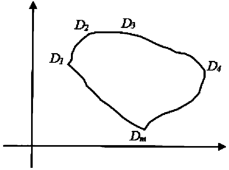
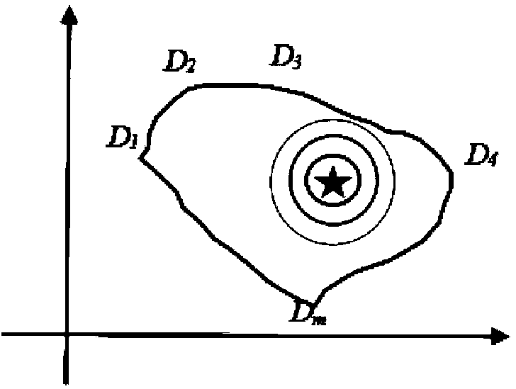
[0031] 1) Assume that the point collector starts with the first key point, and collects m key points sequentially in a clockwise direction (in the period T of GPS s As the sampling period for collecting the boundary points of the farmland operation area), D 1 (x 1 ,y 1 ),D 2 (x 2 ,y 2 ),D 3 (x 3 , y3 ),…,D m (x m ,y m ),Such as figure 1 shown;
[0032] 2) Compare the abscissas of these m points and find out the points with the smallest and largest abscissas. Suppose the point with the smallest abscissa is D i (x i ,y i ), the point with the largest abscissa is D j (x j ,y j ). (If the abscissa of multiple points is the minimum value, the point with the first point order is taken as the minimum point. There is a special case here: if D 1 and D m The abscissas are all equal, but here take D m As the minimum point; if the a...
PUM
 Abstract
Description
Claims
Application Information
 - R&D
- Intellectual Property
- Life Sciences
- Materials
- Tech Scout
- Unparalleled Data Quality
- Higher Quality Content
- 60% Fewer Hallucinations
Browse by: Latest US Patents, China's latest patents, Technical Efficacy Thesaurus, Application Domain, Technology Topic, Popular Technical Reports.
© 2025 PatSnap. All rights reserved.Legal|Privacy policy|Modern Slavery Act Transparency Statement|Sitemap|About US| Contact US: help@patsnap.com


