
Bus arrival distance forecasting and geographical position positioning method

A technology of geographic location positioning and buses, which is applied in the field of bus location and can solve complex problems

Inactive Publication Date: 2013-09-25
喻应芝
View PDF3 Cites 6 Cited by
  • Summary
  • Abstract
  • Description
  • Claims
  • Application Information

AI Technical Summary

Problems solved by technology

However, it is too complicated to predict the distance information from a certain station: first, the position of the vehicle in the street should be inferred based on the positioning information and positioning accuracy radius (usually 10 meters for civilian GPS) and the route street where the vehicle should normally be located , and then do the map distance integral calculation to get the position from a certain station

Method used


Image

  • Bus arrival distance forecasting and geographical position positioning method
  • Bus arrival distance forecasting and geographical position positioning method

Examples


Embodiment Construction

[0012] The geographic positioning method for buses provided by the present invention includes the following steps:

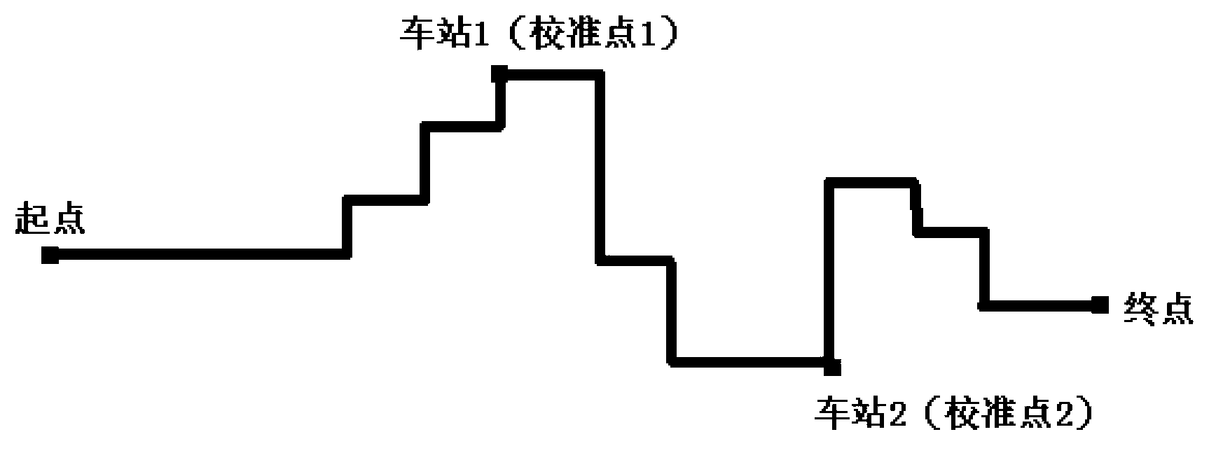
[0013] 1. Confirm the driving route of the bus in advance through the data disclosed by the bus system before the bus starts; 2. Measure the length of the route of the bus before the bus starts, and mark the start and end points; 3. Confirm in advance One or more detection points are set on the route of the bus, and the distance from these detection points to the starting point and the end point; 4. RFID radio frequency communication devices are installed on the detection points and the bus, and a signal is sent when the bus passes the detection point Information communication and storage center; 5. When the bus passes the starting point, the electronic system on the bus starts, starts to count the distance traveled by the bus through the odometer, and sends the distance information to the information communication and information communication system through the GP...


PUM


Abstract

The invention provides a bus arrival distance forecasting and geographical position positioning method. The method comprises the steps that: a bus driving path, a path length, and specific positions of a plurality of reference points (stations) in the path are pre-determined; with a built-in speedometer of the bus, the distance already covered by the bus is obtained; the values of the distances between the bus and the plurality of reference points in the path are calculated; the position of the bus in the driving path is calculated; the actual geographical position of the bus in a map is calculated; and the result is transmitted to any networking device of the internet through the internet, or is used for notification through voice and short messages. Therefore, the forecasting of the distance information of the bus from any station of the path is realized.

Description

Technical field [0001] The present invention relates to a method of determining the location of a vehicle moving along a known route, more specifically such as a bus. Background technique [0002] The existing bus forecasting systems are based on GPS and other satellite positioning systems. The location returned is the absolute address of latitude and longitude, which is only suitable for marking the location on the map. However, it is too complicated to predict the distance information from a station: First, it is necessary to infer the location of the vehicle in the street based on the positioning information and the positioning accuracy radius (usually 10 meters for civil GPS) and the route street where the vehicle should normally be located. , And then do the map distance integral calculation to get the position from a certain station. Summary of the invention [0003] In view of the problems existing in the prior art, the purpose of the present invention is to provide a met...

Claims


Application Information

Patent Timeline
IPC IPC(8): G01C22/00G08G1/123H04W84/18
Inventor 喻应芝
Owner 喻应芝
Learn More