
High-resolution aerial image partition method based on LEGION and under assisting of LiDAR

An aerial image, high-resolution technology, applied in the field of high-resolution aerial image segmentation, can solve the problem of limited improvement of segmentation effect, achieve good segmentation effect and improve segmentation accuracy

Inactive Publication Date: 2013-04-10
NANJING UNIV
View PDF1 Cites 12 Cited by
  • Summary
  • Abstract
  • Description
  • Claims
  • Application Information

AI Technical Summary

Benefits of technology

The present invention combines laser echo intensity images and high-resolution remote sensing images using principal component analysis (PCA) to improve the accuracy of image segmentation. By fusing these two data sources, the invention retains the spectral characteristics of LiDAR data and the structural features of high-resolution remote sensing images. This fusion provides a better input for the segmentation method used in the invention. The segmentation results are similar to how human eyes recognize ground objects, especially those with consistent texture characteristics. The method is also more resistant to noise and provides a stronger and more consistent segmentation of ground objects compared to other methods. Overall, the invention effectively performs remote sensing image segmentation and achieves satisfactory results.

Problems solved by technology

Technology Problem addressed in this patents relates to enabling efficient and effective analysis of remotely sensing videos captured at varying levels of detail due to factors like environmental conditions and lightning strikes. Current techniques involve extracting representative regions containing all possible background scenes without considering these issues, leading to incomplete understanding of the video content.

Method used


Image

  • High-resolution aerial image partition method based on LEGION and under assisting of LiDAR
  • High-resolution aerial image partition method based on LEGION and under assisting of LiDAR
  • High-resolution aerial image partition method based on LEGION and under assisting of LiDAR

Examples


Embodiment Construction

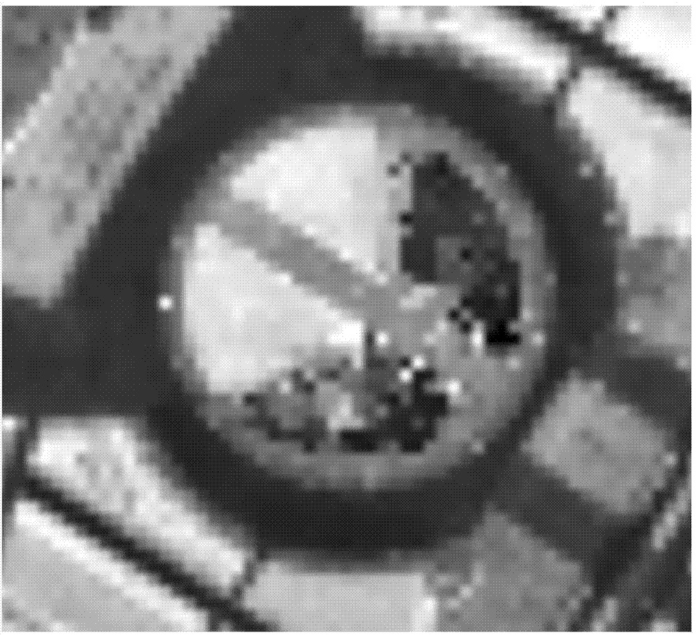
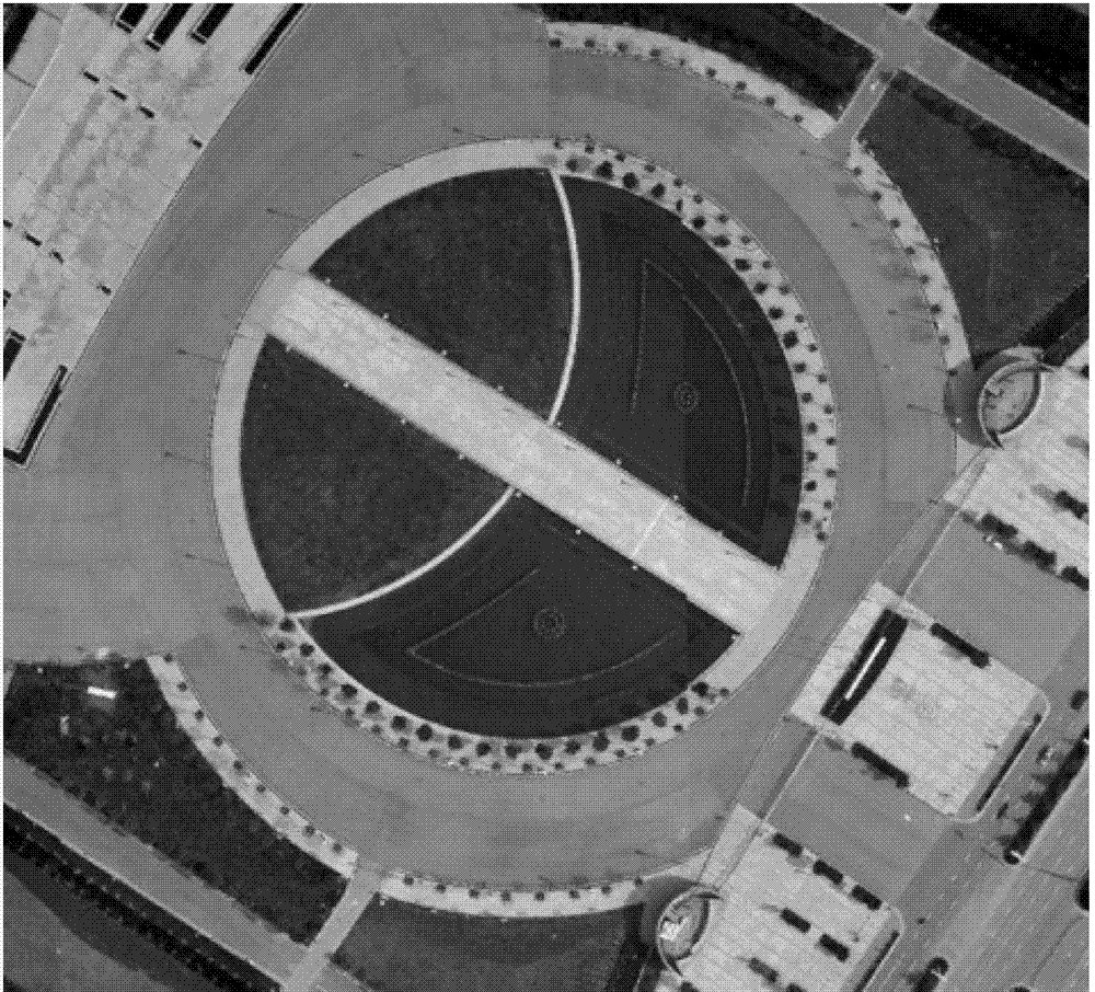
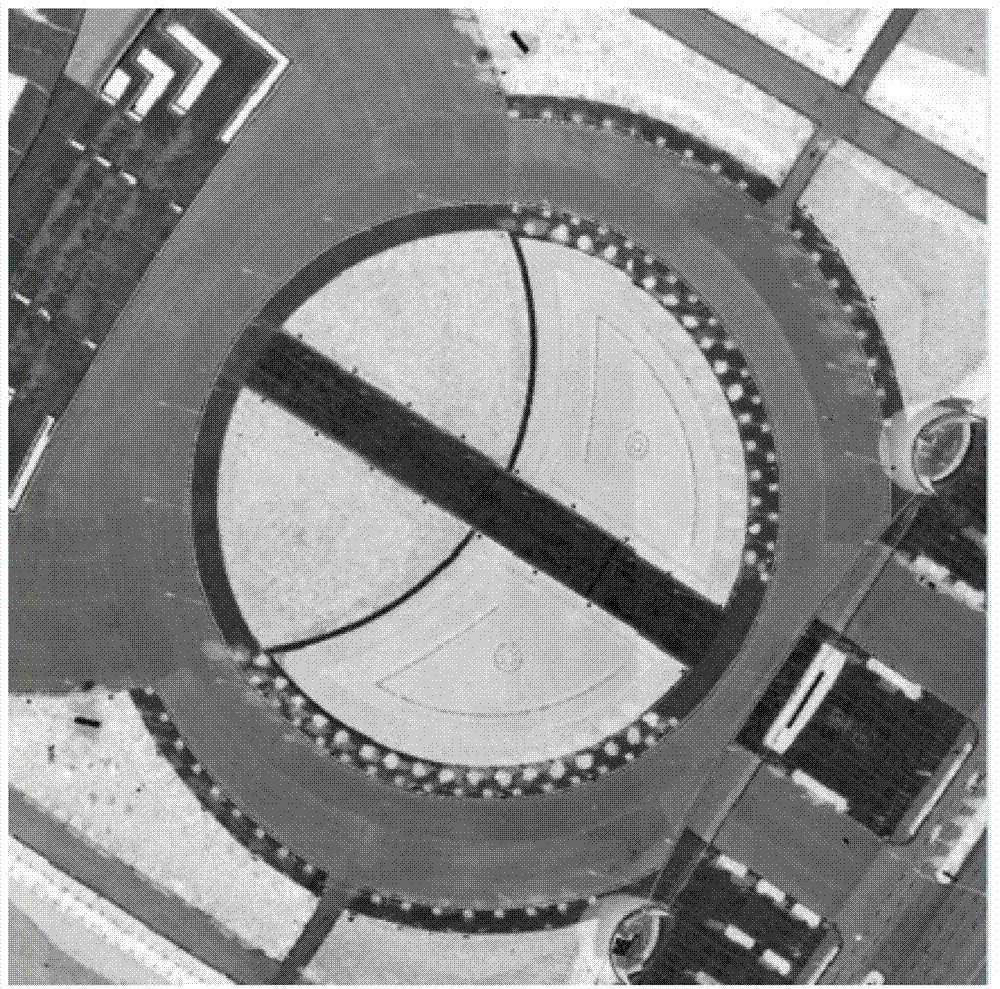
[0024] This embodiment uses the aerial LiDAR echo intensity data (resolution 5m) and the high-resolution remote sensing image panchromatic band image (resolution 0.4m) as the basic data to describe the method of the present invention in detail.

[0025] In the embodiment of the present invention, the LEGION-based high-resolution aerial image segmentation method assisted by LiDAR comprises the following steps:

[0026] Step 1. Laser echo intensity image generation:

[0027] Each point cloud of LiDAR has X, Y, Z attributes and reflection intensity information of ground objects, and its reflection intensity information of ground objects may have multiple, that is, LIDAR has multiple echo information. For each LiDAR point in the LiDAR point cloud data, calculate the mean value of its multiple echo intensity as the echo intensity of the LiDAR point, and resample the echo intensity data of the LiDAR point to obtain the panchromatic band image of the high-resolution remote sensing im...


PUM


Abstract

The invention relates to a high-resolution aerial image partition method based on LEGION and under assisting of a LiDAR. The high-resolution aerial image partition method comprises the following steps of utilizing LiDAR laser point cloud data to generate a laser echo intensity image, conducting registration of the laser echo intensity image and a remote sensing image panchromatic wave band, using a principal component analysis (PCA) to conduct fusing of the laser echo intensity image and the remote sensing image panchromatic wave band after registration of the laser echo intensity image and the remote sensing image panchromatic wave band, obtaining a fusing image, and conducting LEGION image partition for the fusing image. Compared with the prior art, the PCA is utilized to fuse the laser echo intensity image and the high-resolution remote sensing image panchromatic wave band, two different data sources are comprehensively utilized to be used as LEGION partition method input data, LiDAR data and characteristics of a panchromatic wave band image are well reserved, and partition precision of a high-resolution remote sensing image is effectively improved. The LiDAR data and information of the remote sensing image are comprehensively utilized to conduct LEGION partition, and practice shows that the technology can effectively conduct remote sensing image partition and obtain satisfying partition effect.

Description


Claims


Application Information

Patent Timeline
Owner NANJING UNIV
Learn More