Underwater carrier geomagnetic anomaly feature points matching navigation method
A technology of feature point matching and geomagnetic anomaly, applied in ground navigation, navigation through speed/acceleration measurement, etc., can solve the problem of inability to judge underwater vehicles with information
- Summary
- Abstract
- Description
- Claims
- Application Information
AI Technical Summary
Problems solved by technology
Method used
Image
Examples
specific Embodiment approach 1
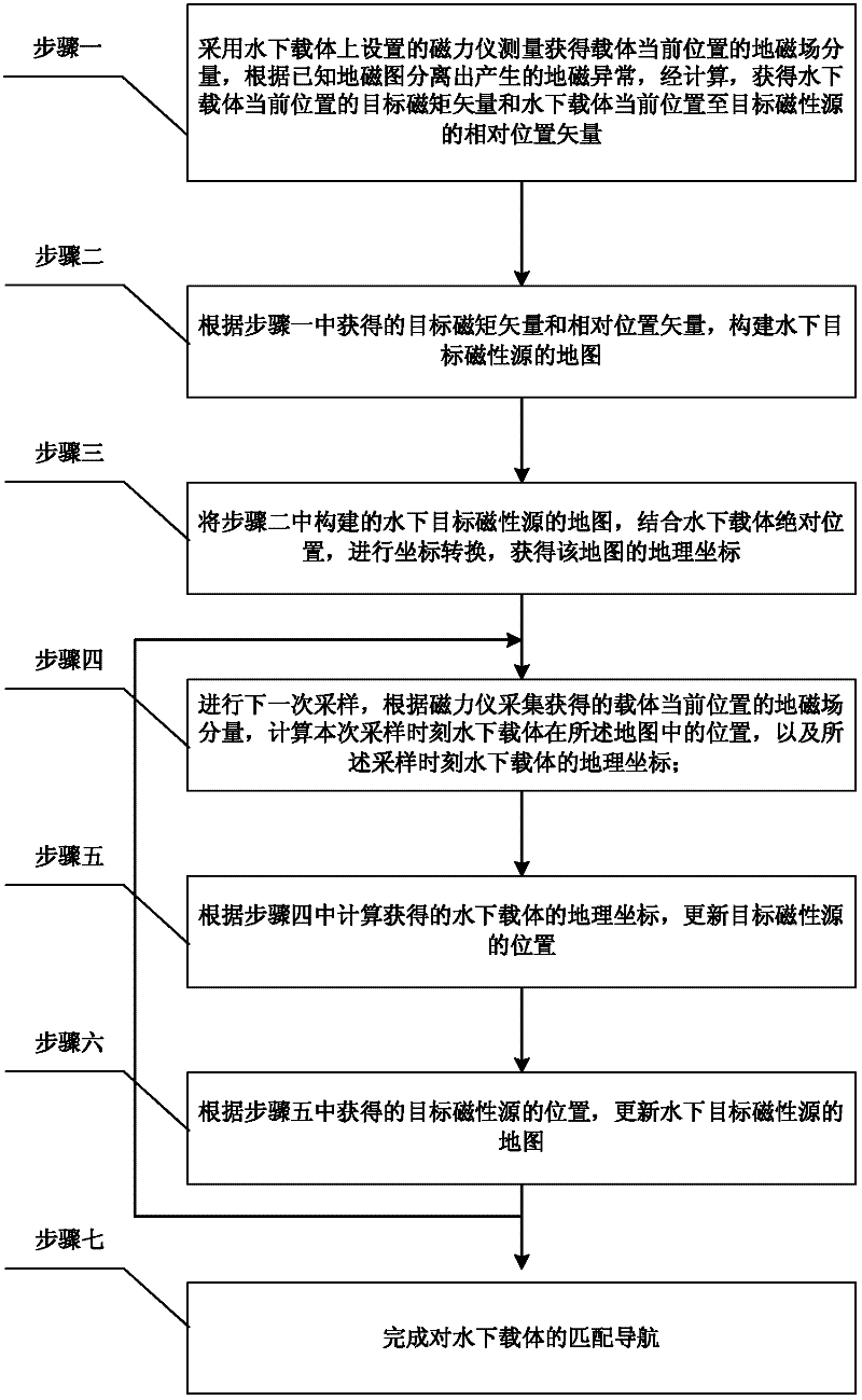
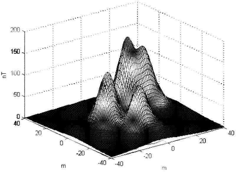
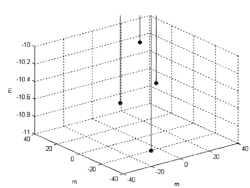
[0036] Specific implementation mode one: the following combination Figure 1 to Figure 4 Illustrate this embodiment, the geomagnetic anomaly characteristic point matching navigation method for underwater carrier described in this embodiment, it comprises the following steps:
[0037] Step 1: Use the magnetometer installed on the underwater vehicle to measure and obtain the geomagnetic field component of the current position of the carrier, and separate the generated geomagnetic anomaly according to the known geomagnetic map. After calculation, obtain the target magnetic moment vector and the underwater Download the relative position vector from the current position of the object to the target magnetic source;
[0038] Step 2: According to the target magnetic moment vector and relative position vector obtained in step 1, construct a map of the magnetic source of the underwater target;
[0039] Step 3: The map of the magnetic source of the underwater target constructed in step ...
PUM
 Abstract
Description
Claims
Application Information
 - R&D
- Intellectual Property
- Life Sciences
- Materials
- Tech Scout
- Unparalleled Data Quality
- Higher Quality Content
- 60% Fewer Hallucinations
Browse by: Latest US Patents, China's latest patents, Technical Efficacy Thesaurus, Application Domain, Technology Topic, Popular Technical Reports.
© 2025 PatSnap. All rights reserved.Legal|Privacy policy|Modern Slavery Act Transparency Statement|Sitemap|About US| Contact US: help@patsnap.com


