Space remote sensing load imaging geometric distortion three-dimensional visualization simulation method
A technology of spaceflight remote sensing and geometric distortion, applied in the field of spaceflight remote sensing imaging, which can solve problems involving little or no imaging geometric distortion principle research and simulation implementation.
- Summary
- Abstract
- Description
- Claims
- Application Information
AI Technical Summary
Problems solved by technology
Method used
Image
Examples
Embodiment Construction
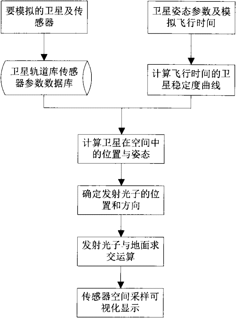
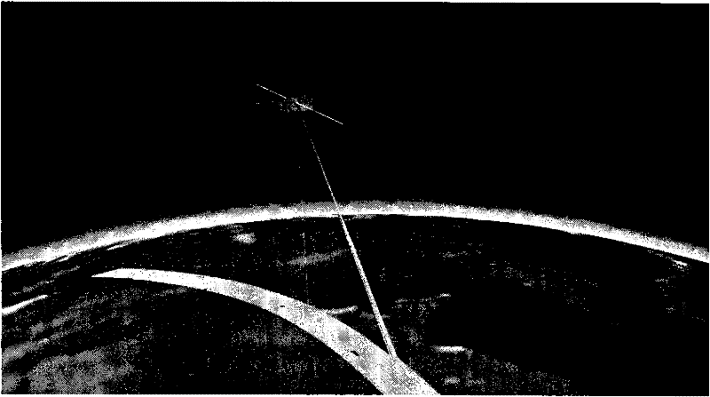
[0026] The three-dimensional visual simulation method of geometric distortion of aerospace remote sensing payload imaging of the present invention is based on the principle of aerospace remote sensing imaging and ray tracing technology, combined with coordinate conversion and projection conversion algorithms in computer graphics, it can simulate the light emitted by the sensor probe on the space platform in the DEM The ground position and range that can be photographed in the three-dimensional scene, and then obtain the geometric deformation of the remote sensing image due to the attitude change of the space platform, the sensor tilt and the terrain fluctuation.
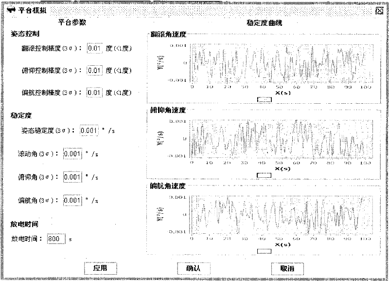
[0027] The simulation flow chart of geometric distortion simulation of aerospace remote sensing payload imaging is as follows: figure 1 As shown, a three-dimensional earth model is constructed in the space Cartesian coordinate system, and DEM data is loaded to simulate different surface fluctuations; according to the ...
PUM
 Abstract
Description
Claims
Application Information
 - R&D Engineer
- R&D Manager
- IP Professional
- Industry Leading Data Capabilities
- Powerful AI technology
- Patent DNA Extraction
Browse by: Latest US Patents, China's latest patents, Technical Efficacy Thesaurus, Application Domain, Technology Topic, Popular Technical Reports.
© 2024 PatSnap. All rights reserved.Legal|Privacy policy|Modern Slavery Act Transparency Statement|Sitemap|About US| Contact US: help@patsnap.com


