Satellite positioning, remote sensing and geographical in for mation integrating method based on mobile device
A mobile device and satellite positioning technology, which is applied in the fields of satellite positioning, remote sensing and geographic information integration, to achieve the effect of reducing resource consumption, display and efficiency, and improving efficiency
- Summary
- Abstract
- Description
- Claims
- Application Information
AI Technical Summary
Problems solved by technology
Method used
Image
Examples
Embodiment Construction
[0025] The present invention will be further described below in conjunction with accompanying drawing.
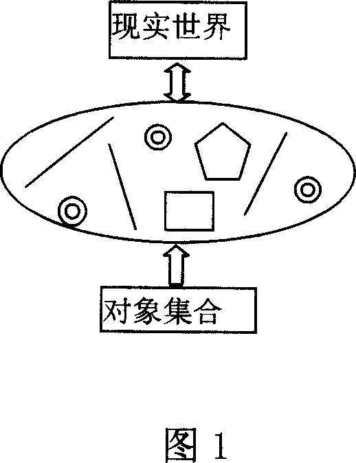
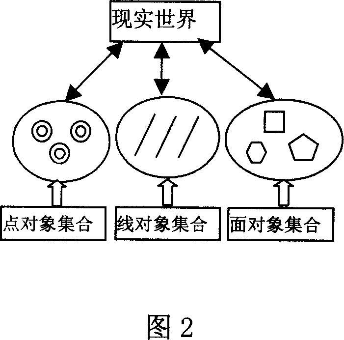
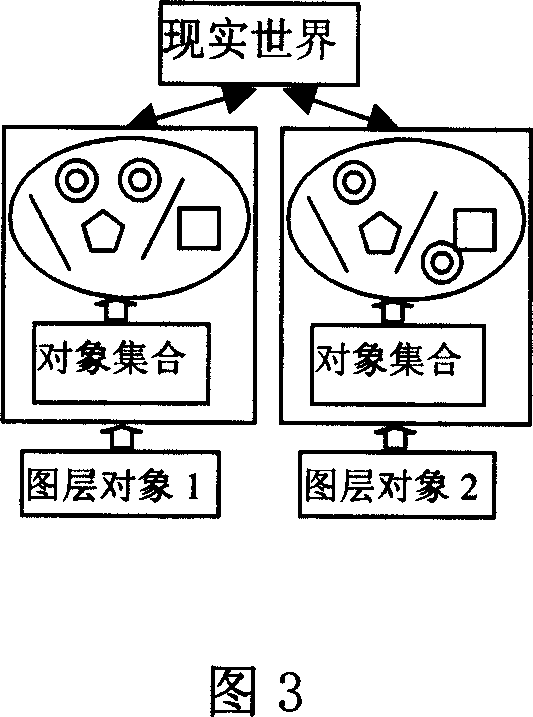
[0026] As shown in Figures 1 to 8:
[0027] GPS coordinate conversion:
[0028] In the application of GPS positioning measurement, since the GPS positioning results are based on the WGS-84 coordinate system, the surveying and mapping results in my country are generally expressed in the Beijing 54 coordinate system, and most cities use local coordinates to avoid the inconvenience caused by Gauss projection deformation. independent coordinate system. Therefore, it is necessary to convert the GPS coordinates into the corresponding coordinate system. Depending on the starting data of the known control points and the accuracy requirements of the application field, the corresponding coordinate transformation models are also different. The handheld computer integrated with the GPS function adopted in this embodiment has a low CPU operation speed and a small memory, and more calc...
PUM
 Abstract
Description
Claims
Application Information
 - R&D
- Intellectual Property
- Life Sciences
- Materials
- Tech Scout
- Unparalleled Data Quality
- Higher Quality Content
- 60% Fewer Hallucinations
Browse by: Latest US Patents, China's latest patents, Technical Efficacy Thesaurus, Application Domain, Technology Topic, Popular Technical Reports.
© 2025 PatSnap. All rights reserved.Legal|Privacy policy|Modern Slavery Act Transparency Statement|Sitemap|About US| Contact US: help@patsnap.com


