Entity display priority in a distributed geographic information system
a geographic information system and priority technology, applied in the field of mapping systems, can solve the problem of significant number of available placemarks
- Summary
- Abstract
- Description
- Claims
- Application Information
AI Technical Summary
Benefits of technology
Problems solved by technology
Method used
Image
Examples
Embodiment Construction
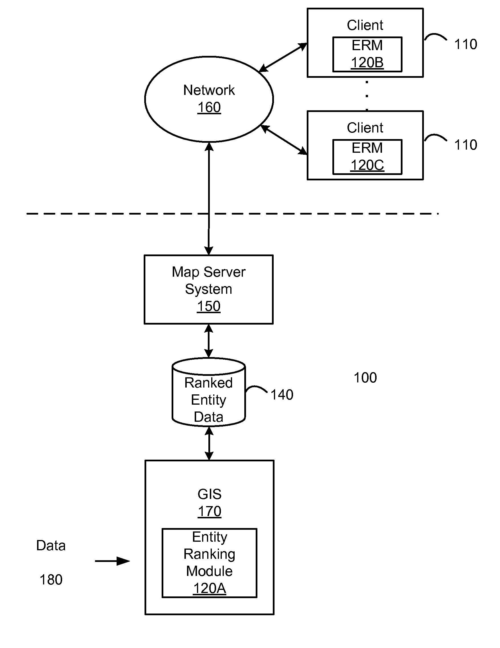
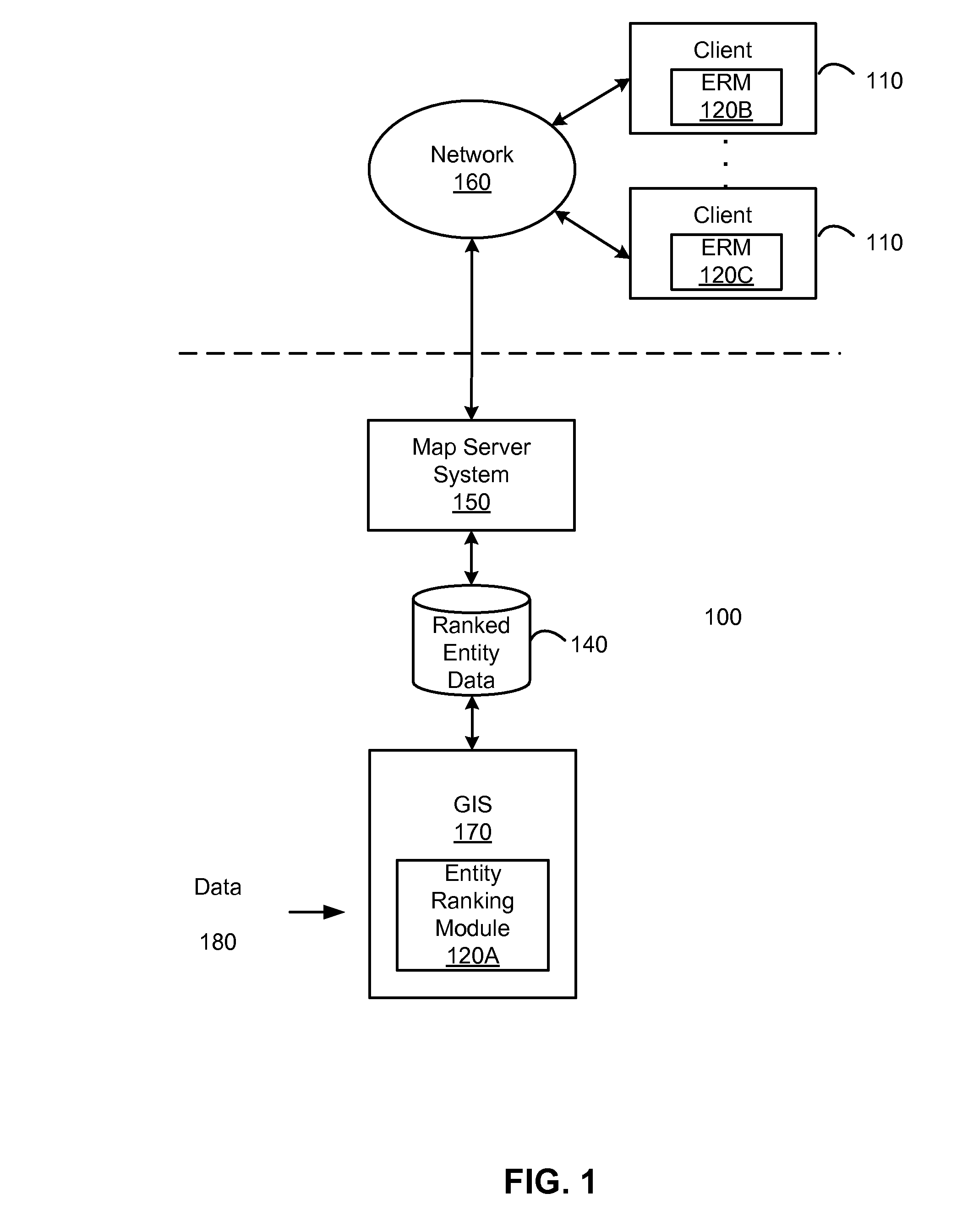
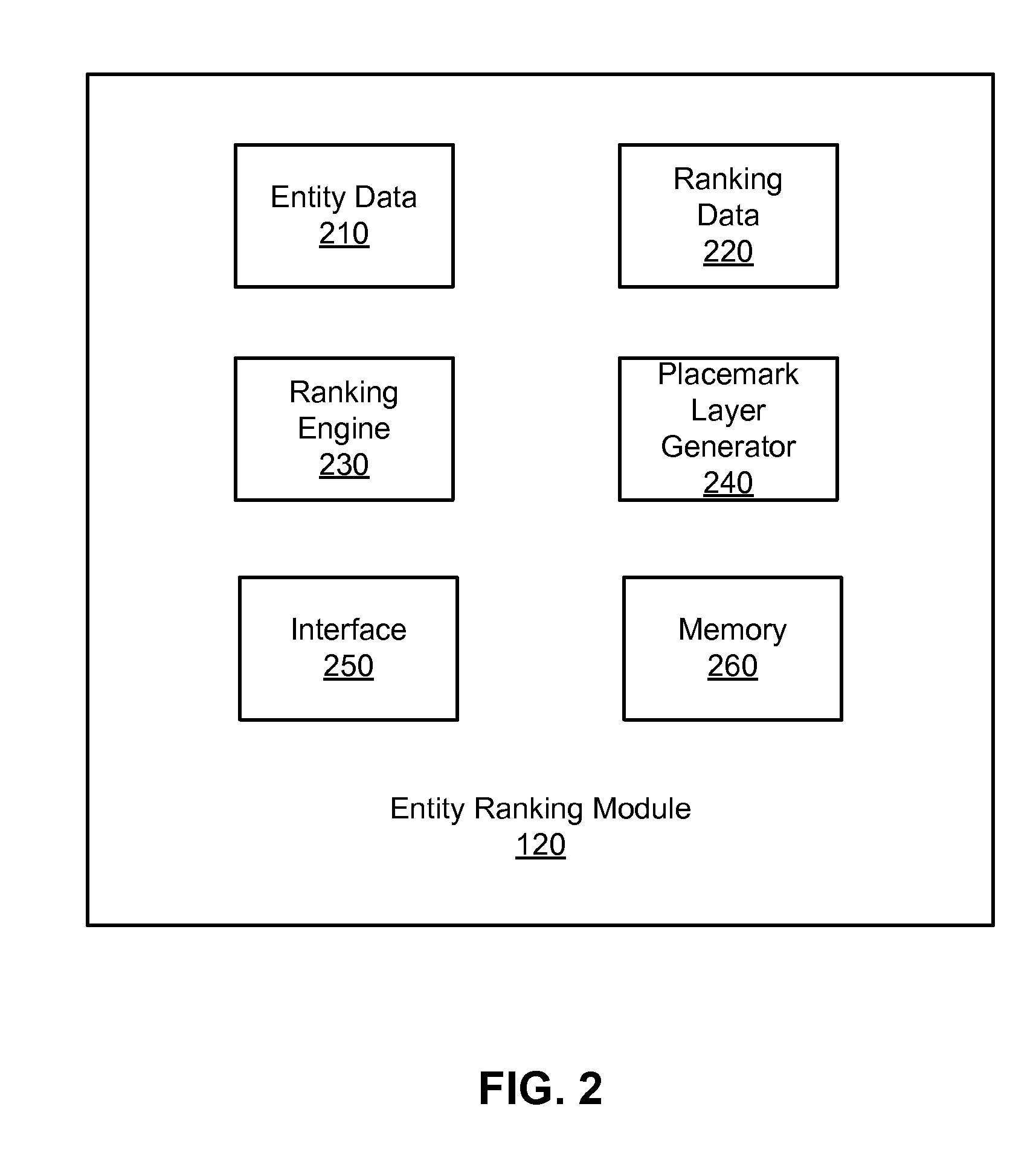
[0018]A geographic information system (GIS) is disclosed that provides users with a greater degree of flexibility, utility, and information. The system may also be configured as a distributed geographic information system (DGIS). The system employs techniques for prioritizing which placemarks (as well as other map entities) to display on a GIS-based map.
General Overview
[0019]It is common practice in Geographic Information Systems to provide mechanisms to select a subset of available geographic features for display based on any of several criteria. For example, one might load a database of world cities into such a system and then request to see only those cities within the United States, those cities with populations exceeding one million persons, or perhaps those cities meeting both of these criteria. In this last case, only the markers for New York City, Los Angeles, Chicago, Houston, Philadelphia, San Diego, Detroit, and Dallas would be displayed if 1990 population data were being...
PUM
 Abstract
Description
Claims
Application Information
 - R&D
- Intellectual Property
- Life Sciences
- Materials
- Tech Scout
- Unparalleled Data Quality
- Higher Quality Content
- 60% Fewer Hallucinations
Browse by: Latest US Patents, China's latest patents, Technical Efficacy Thesaurus, Application Domain, Technology Topic, Popular Technical Reports.
© 2025 PatSnap. All rights reserved.Legal|Privacy policy|Modern Slavery Act Transparency Statement|Sitemap|About US| Contact US: help@patsnap.com


