Spatially integrated relational database model with dynamic segmentation (SIR-DBMS)
a relational database and dynamic segmentation technology, applied in the field of database management systems, can solve the problem that the SQL statements that implement dynamic segmentation queries can be very complex
- Summary
- Abstract
- Description
- Claims
- Application Information
AI Technical Summary
Benefits of technology
Problems solved by technology
Method used
Image
Examples
Embodiment Construction
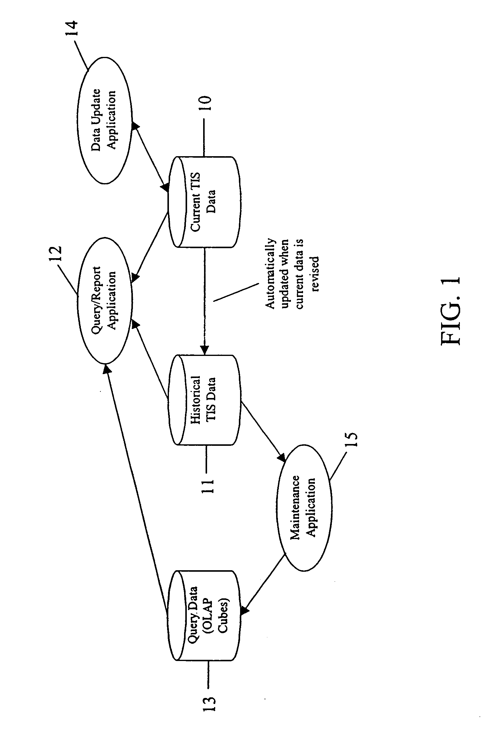
[0041] The present invention is a method and system for providing an open database model that allows the combining of spatial and linear attribute data in a single relational database. The integration of spatial and attribute data allows the data to be accessed by either standard structured query language (SQL) or a GIS viewing application.
[0042] As an exemplary embodiment of the invention, the system and method are herein described in the context of an implementation of a transportation information system (TIS) that meets the afore-mentioned requirements of the Georgia Department of Transportation (GDOT). As such, the system and method described herein will be discussed in the context of an implementation of a core module of the GDOT TIS, specifically a transportation systems and facilities (TSAF) system. It will be apparent to one of ordinary skill in the art how to modify the system and method for integration with other GIS and transportation systems.
[0043] For purposes of the ...
PUM
 Abstract
Description
Claims
Application Information
 - R&D
- Intellectual Property
- Life Sciences
- Materials
- Tech Scout
- Unparalleled Data Quality
- Higher Quality Content
- 60% Fewer Hallucinations
Browse by: Latest US Patents, China's latest patents, Technical Efficacy Thesaurus, Application Domain, Technology Topic, Popular Technical Reports.
© 2025 PatSnap. All rights reserved.Legal|Privacy policy|Modern Slavery Act Transparency Statement|Sitemap|About US| Contact US: help@patsnap.com


