A Design Flood Calculation Method for Small Watershed
A technology for designing floods and small watersheds, applied in design optimization/simulation, computer-aided design, calculation, etc., can solve problems such as low accuracy and achieve high-precision results
- Summary
- Abstract
- Description
- Claims
- Application Information
AI Technical Summary
Problems solved by technology
Method used
Image
Examples
Embodiment 1
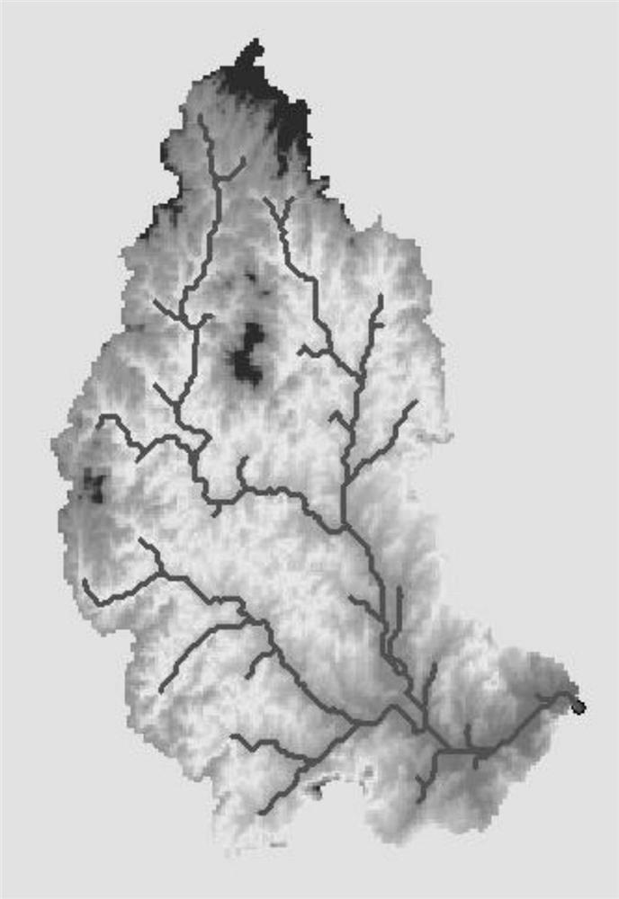
[0063] This example is an example in which the design flood in a small stream basin in Hubei is to express the effects achieved by the present invention.
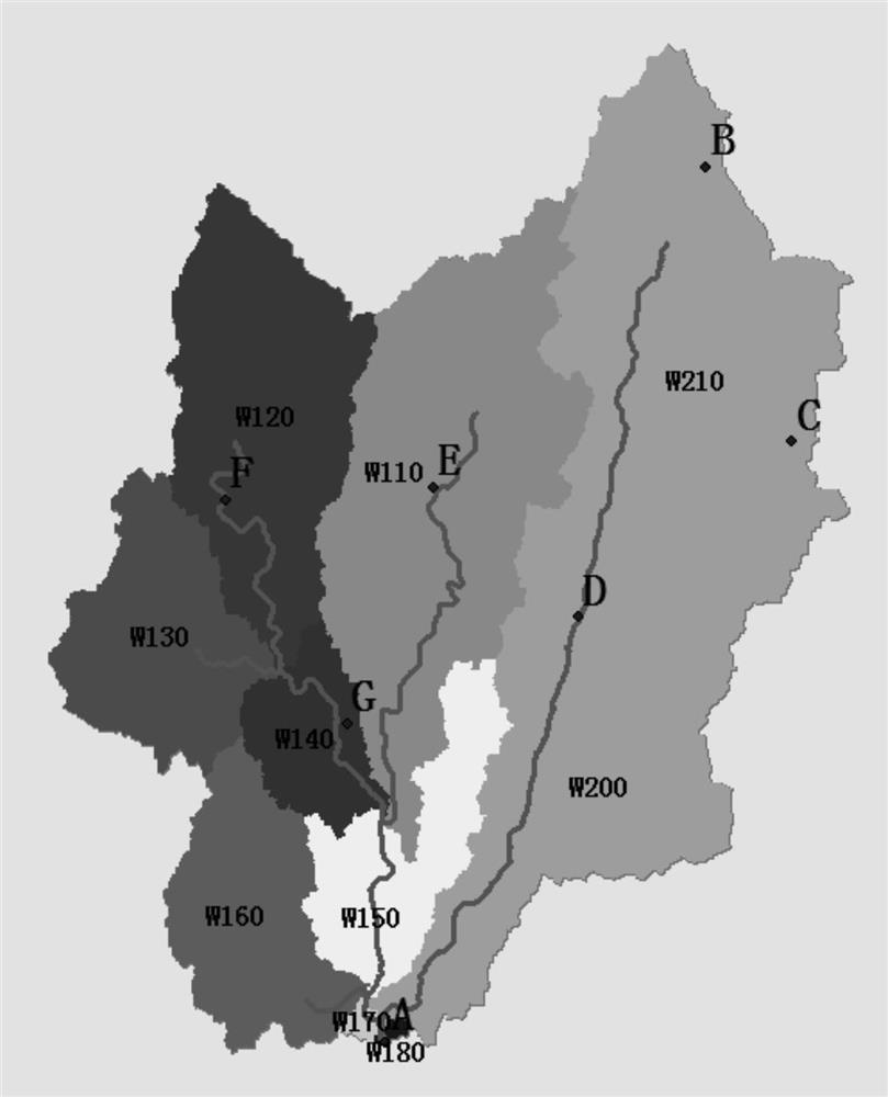
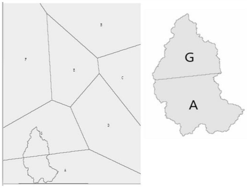
[0064] The small watershed is located in the north of Hubei Province, the mountains, the northern part of the Hanjiang Plain, the basin is bound to 113 ° 79 ~ 113 ° 95 ', and between 31 ° 24' ~ 31 ° 45 'in the north latitude. Full length is 5.6km long, the basin area is 193km 2 The territory of the basin is low in southeast, the landform is mainly between the hilly mountain, with an altitude between 35-285 meters. There is no rainstock station and hydrological station in the basin, but there is a garden hydrological station in the downstream, the hydrological station has rainfall data, while the garden hydrological station has 7 rainsticks, A, B, C, D, E , F, g, these rainstorms have rainfall data. Examples of the largest flooding flow rate of 1969 to 1989 seven rainfall stations, the largest flood process information of the la...
PUM
 Abstract
Description
Claims
Application Information
 - R&D
- Intellectual Property
- Life Sciences
- Materials
- Tech Scout
- Unparalleled Data Quality
- Higher Quality Content
- 60% Fewer Hallucinations
Browse by: Latest US Patents, China's latest patents, Technical Efficacy Thesaurus, Application Domain, Technology Topic, Popular Technical Reports.
© 2025 PatSnap. All rights reserved.Legal|Privacy policy|Modern Slavery Act Transparency Statement|Sitemap|About US| Contact US: help@patsnap.com


