Power line inspection system and method based on unmanned aerial vehicle
A technology for power lines and inspection systems, applied in traffic control systems, aircraft traffic control, computer parts, etc., can solve problems such as poor safety, high line inspection costs, and small viewing angle of view, and achieve accurate response inspections. As a result, the effect of reducing the cost of inspection and improving the efficiency of inspection
- Summary
- Abstract
- Description
- Claims
- Application Information
AI Technical Summary
Problems solved by technology
Method used
Image
Examples
Embodiment 1
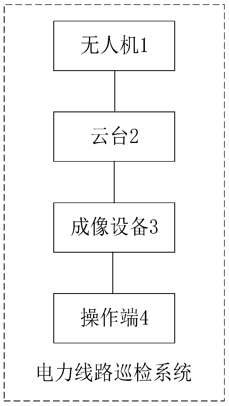
[0035] Such as figure 1 As shown, the UAV-based power line inspection system in this embodiment includes:
[0036] Unmanned aerial vehicle 1; Specifically, described unmanned aerial vehicle 1 comprises: RTK communication module and 4G / 5G communication module, at present unmanned aerial vehicle generally uses GPS to locate, and it is easy to cause large positioning error due to weather and environmental influence, makes it unable to The image information of the power device is accurately captured, resulting in inaccurate detection of the device; therefore, the UAV 1 in this embodiment can enhance the GPS search capability and obtain differential data through the RTK communication module including the RTK antenna and other components, Differential positioning can be performed, and the positioning accuracy can reach centimeter level, thereby improving the positioning accuracy. At the same time, the 4G / 5G communication module is used to achieve stable and efficient signal transmis...
Embodiment 2
[0050] This embodiment provides a power line inspection method implemented by the above-mentioned power line inspection system, which includes:
[0051] S1. Determine the transmission line according to the position information of several towers, and then determine the flight route of the drone according to the transmission line;
[0052] Specifically, first control the UAV to fly to a certain tower (such as image 3 001) above, record the latitude and longitude coordinates of the tower, then fly to the side of the tower, lower the aircraft to the same height as the tower, record the altitude of the tower, so as to determine the position of the tower, and repeat in turn to obtain several towers (Such as figure 2 002, 003...005) in the location information, and then connect some of the towers to determine the transmission line S (such as figure 2 Among them, the power is transmitted along the three towers 001, 002, 003 and the transmission lines connected to each other), and...
PUM
 Abstract
Description
Claims
Application Information
 - R&D Engineer
- R&D Manager
- IP Professional
- Industry Leading Data Capabilities
- Powerful AI technology
- Patent DNA Extraction
Browse by: Latest US Patents, China's latest patents, Technical Efficacy Thesaurus, Application Domain, Technology Topic, Popular Technical Reports.
© 2024 PatSnap. All rights reserved.Legal|Privacy policy|Modern Slavery Act Transparency Statement|Sitemap|About US| Contact US: help@patsnap.com


