A UAV forestry resource survey method
A forestry resource and UAV technology, applied in the field of UAV forestry resource investigation, can solve the problems of inability to obtain forest tree characteristic parameters, waste of manpower and time, heavy workload, etc., to achieve strong practicability, reduce labor intensity, The effect of complete and reliable data
- Summary
- Abstract
- Description
- Claims
- Application Information
AI Technical Summary
Problems solved by technology
Method used
Image
Examples
Embodiment Construction
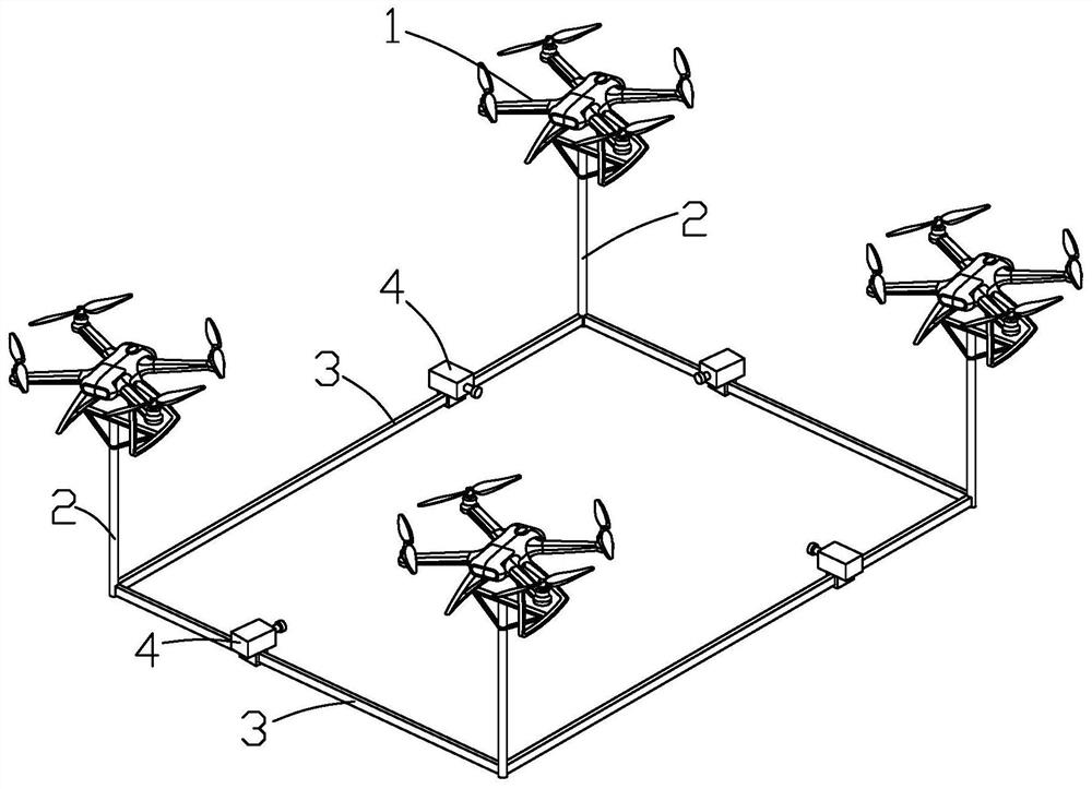
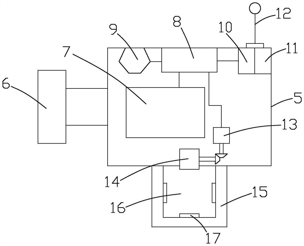
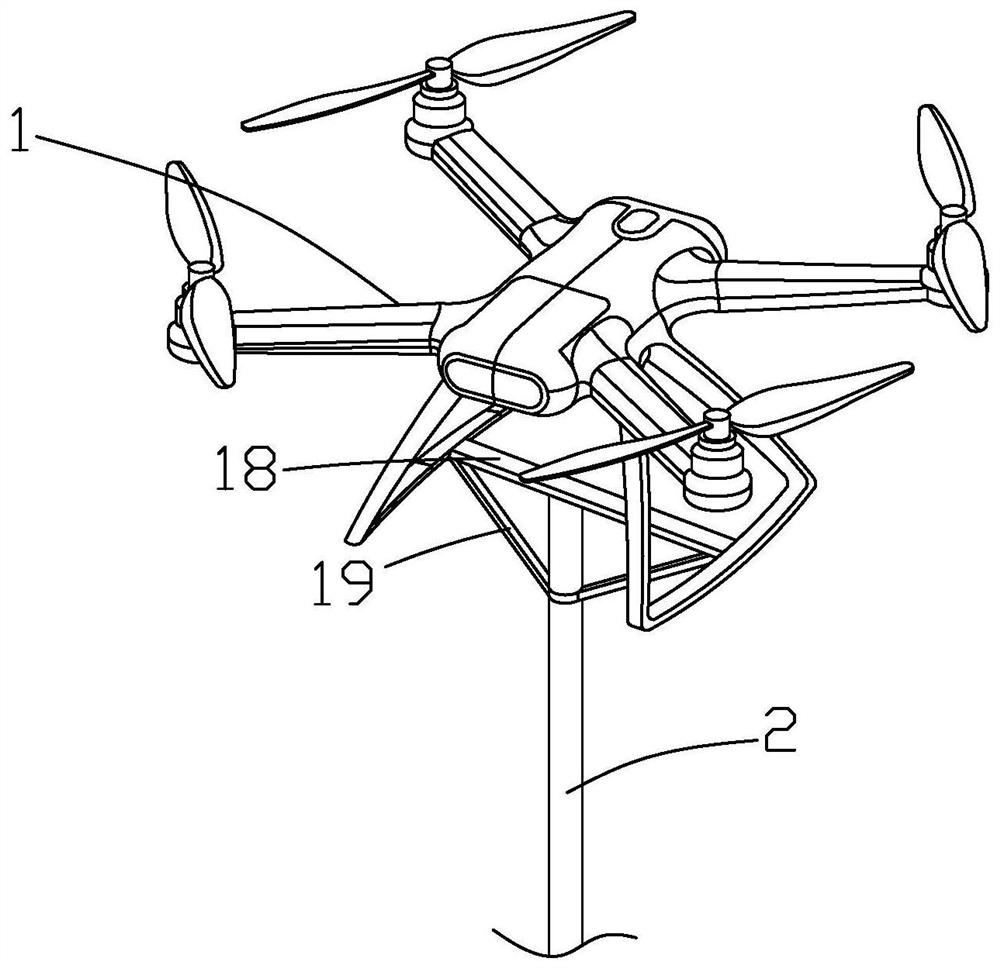
[0036] Such as Figure 1 to Figure 4 Shown, be a kind of unmanned aerial vehicle forestry resource investigation method of the present invention, comprise the following steps:
[0037] 1) Forestry ground scanning modeling
[0038] a. First select a drone 1, install a CCD camera on the drone 1, and do a good job of debugging before scanning;
[0039] b. Then fly the UAV 1 according to the designed flight route and direction, and use the CCD camera to continuously take pictures and collect the ground of the forest farm with the lens down, so that the entire area of the forest farm can be completely input into the computer. It is convenient for the subsequent division of unit areas and improves the accuracy of forestry resource investigation. The photos taken meet the ground scenery collected by two adjacent photos without overlapping, and avoid expanding or shrinking the area of the forest farm;
[0040]c, then model the photos sent back by the UAV 1 by computer, and estab...
PUM
 Abstract
Description
Claims
Application Information
 - R&D
- Intellectual Property
- Life Sciences
- Materials
- Tech Scout
- Unparalleled Data Quality
- Higher Quality Content
- 60% Fewer Hallucinations
Browse by: Latest US Patents, China's latest patents, Technical Efficacy Thesaurus, Application Domain, Technology Topic, Popular Technical Reports.
© 2025 PatSnap. All rights reserved.Legal|Privacy policy|Modern Slavery Act Transparency Statement|Sitemap|About US| Contact US: help@patsnap.com


