Method of Establishing Equivalent Geometric Imaging Model of High Resolution Satellite Imagery Using RPC Parameters
A technology of geometric imaging and satellite imagery, applied in the field of remote sensing science, which can solve the problems of difficulty in stereoscopic observation, systematic errors, and decreased positioning accuracy.
- Summary
- Abstract
- Description
- Claims
- Application Information
AI Technical Summary
Problems solved by technology
Method used
Image
Examples
Embodiment Construction
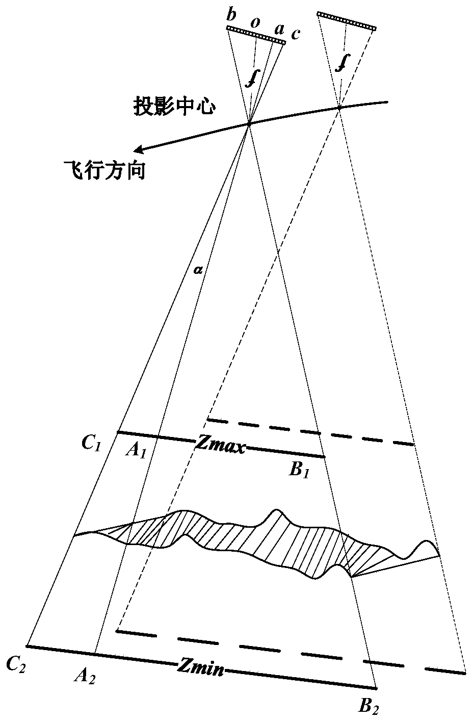
[0074] The technical solutions of the present invention will be further described below in conjunction with the accompanying drawings and embodiments.
[0075] The present invention calculates the equivalent geometric imaging model based on RPC parameters, and its process is as follows:
[0076] 1. Equivalent geometric imaging model of linear array push-broom satellite images
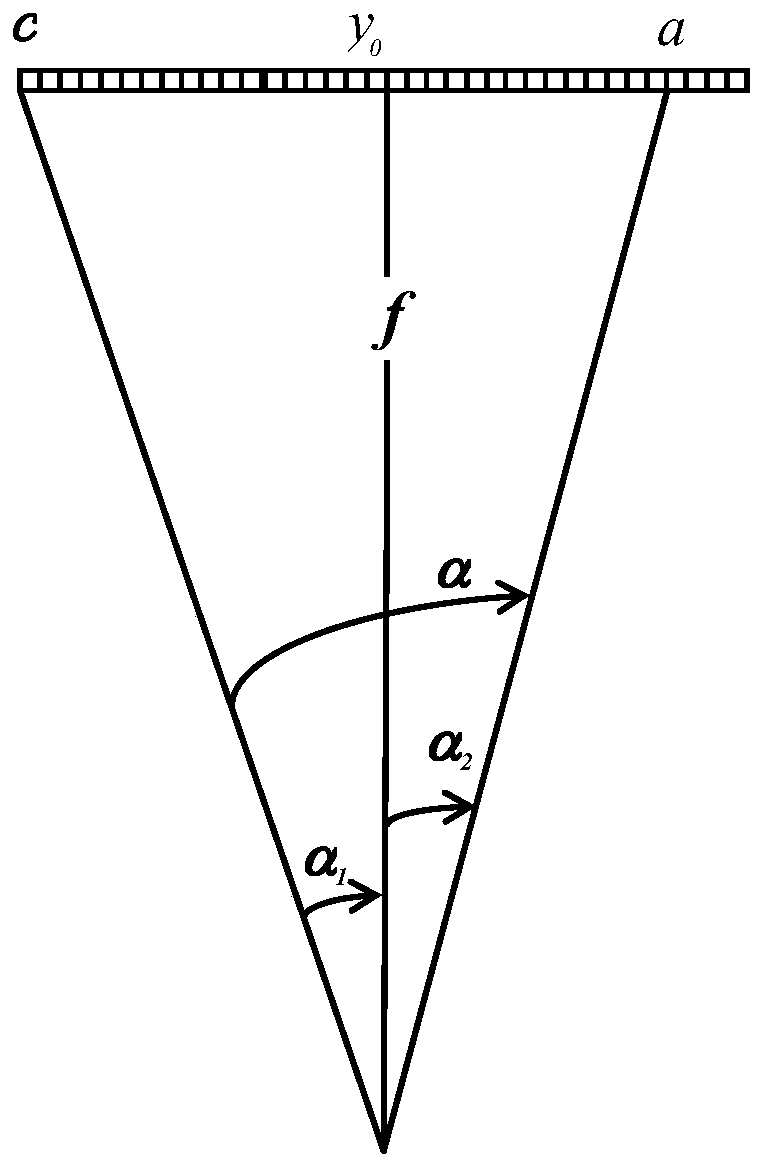
[0077] The Equivalent Geometric Sensor Model (EGSM) is a mathematical abstraction of the linear push-broom imaging geometry of high-resolution optical satellite images, which describes the geometric relationship between the image point coordinates and the object space coordinates of the corresponding target points. The establishment of the equivalent geometric imaging model is based on the following basic facts (mathematical assumptions):
[0078] The image corresponding to each scanning line in the satellite image is obtained by central projection;
[0079] The ideal linear array CCD pixels have the ...
PUM
 Abstract
Description
Claims
Application Information
 - R&D
- Intellectual Property
- Life Sciences
- Materials
- Tech Scout
- Unparalleled Data Quality
- Higher Quality Content
- 60% Fewer Hallucinations
Browse by: Latest US Patents, China's latest patents, Technical Efficacy Thesaurus, Application Domain, Technology Topic, Popular Technical Reports.
© 2025 PatSnap. All rights reserved.Legal|Privacy policy|Modern Slavery Act Transparency Statement|Sitemap|About US| Contact US: help@patsnap.com


