Aerial survey meter for mountain-based vegetation zones and vertical vegetation zones
A technology of vegetation belt and measuring instrument, which is applied in the direction of measuring device, line-of-sight measurement, measuring distance, etc., can solve problems such as inconvenience and achieve the effect of ensuring balance
- Summary
- Abstract
- Description
- Claims
- Application Information
AI Technical Summary
Problems solved by technology
Method used
Image
Examples
Embodiment Construction
[0013] In order to make the objects and advantages of the present invention clearer, the present invention will be further described in detail below in conjunction with the examples. It should be understood that the specific embodiments described here are only used to explain the present invention, not to limit the present invention.
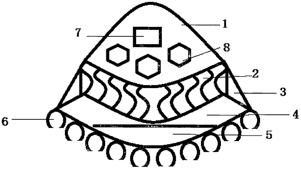
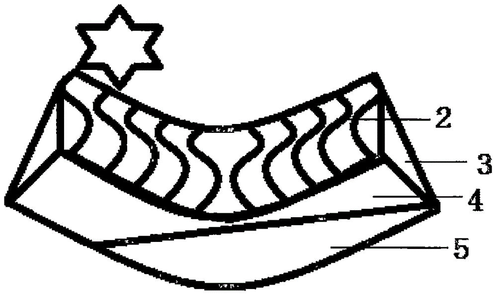
[0014] Such as figure 1 As shown, the embodiment of the present invention provides a kind of mountain base vegetation zone and vertical vegetation zone aerial measuring instrument, comprise box body cover 1, described box body cover 1 is provided with window and some measuring instrument measurement windows 8, box body shell 1. The lower bottom surface is connected with a mercury balance chamber 4 through a spring balance chamber 2. The two ends of the spring balance chamber 2 are connected with the two ends of the mercury balance chamber 4 through a triangular support frame 3. The lower end of the mercury balance chamber 4 is provided with seve...
PUM
 Abstract
Description
Claims
Application Information
 - R&D Engineer
- R&D Manager
- IP Professional
- Industry Leading Data Capabilities
- Powerful AI technology
- Patent DNA Extraction
Browse by: Latest US Patents, China's latest patents, Technical Efficacy Thesaurus, Application Domain, Technology Topic, Popular Technical Reports.
© 2024 PatSnap. All rights reserved.Legal|Privacy policy|Modern Slavery Act Transparency Statement|Sitemap|About US| Contact US: help@patsnap.com


