Crop disaster situation loss assessment method based on remote-sensing sampling
A technology of crops and disasters, which is applied in the field of crop disaster loss assessment based on remote sensing sampling, and can solve problems such as consistency comparison
- Summary
- Abstract
- Description
- Claims
- Application Information
AI Technical Summary
Problems solved by technology
Method used
Image
Examples
Embodiment Construction
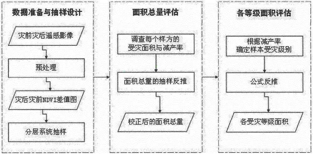
[0046] The present invention will be further elaborated below in conjunction with the accompanying drawings and specific embodiments.
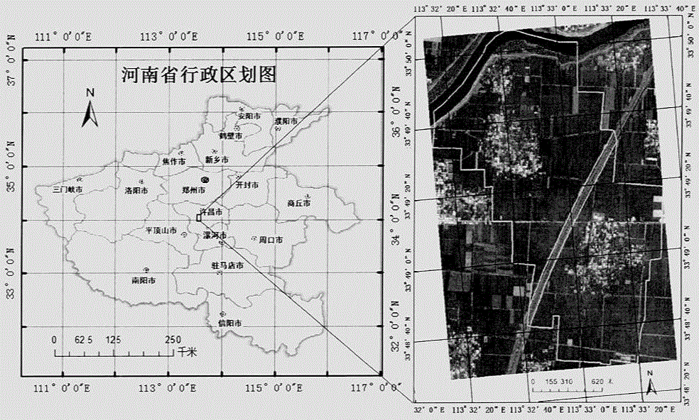
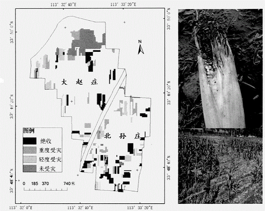
[0047] The research area of the present invention is Xuchang City, Henan Province. Henan Province is located in the hinterland of the Central Plains, in the marginal area where the warm temperate zone and subtropical climate intersect. The monsoon climate is obvious, and multiple natural disasters such as drought, flood, sandstorm, hail and frost occur frequently. A severe drought occurred in Henan Province from July to August 2014. Through the comprehensive analysis of the NDVI anomaly index in August 2014 and the NDVI difference between August 20, 2014 and July 26, 2014 in Xuchang City, Henan Province, the Xuchang Dazhao Village and Beisun Village in Xiangcheng County are the research areas. The selection of the research area mainly considers the following two reasons: First, in order to ensure the verification accuracy of the empirical re...
PUM
 Abstract
Description
Claims
Application Information
 - R&D Engineer
- R&D Manager
- IP Professional
- Industry Leading Data Capabilities
- Powerful AI technology
- Patent DNA Extraction
Browse by: Latest US Patents, China's latest patents, Technical Efficacy Thesaurus, Application Domain, Technology Topic, Popular Technical Reports.
© 2024 PatSnap. All rights reserved.Legal|Privacy policy|Modern Slavery Act Transparency Statement|Sitemap|About US| Contact US: help@patsnap.com


