
Method and system for processing geographic information symbol

A geographic information and symbol processing technology, applied in the field of GIS technology, can solve the problems of platform construction and application cost loss and difficulty, can not meet the needs of police geographic information business applications, non-compliance, etc., to avoid repeated development and maintenance, The effect of avoiding diversity differentiation and improving work efficiency

Inactive Publication Date: 2012-04-04
FOUNDER INTERNATIONAL CO LTD +1
View PDF1 Cites 5 Cited by
  • Summary
  • Abstract
  • Description
  • Claims
  • Application Information

AI Technical Summary

Problems solved by technology

[0005] 1. The original symbol libraries of different types of GIS platforms all have their own independent style and personalized application mode, resulting in many differences in map display effects, and the cross-platform unified call of symbol libraries cannot be realized, which does not meet and cannot meet the requirements of police Business application needs of geographic information;
[0006] 2. At the same time, the independent development and maintenance of each symbol library will generate more repetitive work, which will bring unnecessary cost loss and difficulty to the construction and application of the entire platform

Method used


Image

  • Method and system for processing geographic information symbol
  • Method and system for processing geographic information symbol
  • Method and system for processing geographic information symbol

Examples


Embodiment Construction

[0031] The present invention will be described in detail below in conjunction with the accompanying drawings.

[0032] In this scheme, the map symbols are divided into three types according to the different types of surface feature information they express, such as point symbols, line symbols, and surface symbols, for the classification management of the symbol library (distinguished by different suffixes). Users can create and define a new symbol in Symbol Maker, and edit the style and related properties of existing symbols. At the same time, map colors are managed in a unified manner in the form of a color library, and the "CMYK" four-color color management method is adopted, and the editing function of spot colors is provided, which can meet the special needs of some map publishing users.

[0033] method embodiment

[0034] Such as figure 1 As shown, the embodiment of the geographic information symbol processing method of the present invention includes:

[0035] Step 1...


PUM


Abstract

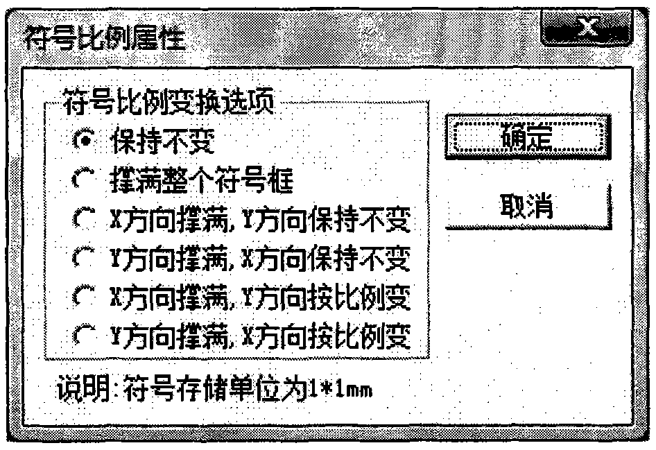
The invention discloses a method and a system for processing a geographic information symbol. The method for processing the geographic information symbol comprises the following steps of: adding a graphic element of the geographic information symbol, and editing the graphic element according to a preset style and related attributes to form the geographic information symbol; performing normalized parameter setting on the geographic information symbol; and storing the geographic information symbol, and loading in an electronic map. By the method and the system for processing the geographic information symbol, a management mechanism is updated by a unified symbol library, a set of perfect symbol making process is formed, and the editing and operating functions of different types of symbols such as vectors, grids, Truetype and the like are provided.

Description

technical field [0001] The invention relates to a GIS technology, in particular to a geographic information symbol processing method and system. Background technique [0002] In each GIS platform software, each has its own different color symbol system, which leads to different display methods of map data, and the platform construction and information display of the police geographic information system need to form a unified and standardized symbol library management The mechanism and application mode eliminate the diversity and limitations of the symbol system in display and application. [0003] Moreover, the existing symbol library creation tools in various GIS platforms cannot fully meet the symbol library construction standards of the police geographic information system. The platform construction and information display of the police geographic information system need to form a unified and standardized symbol library management mechanism and application mode to elimin...

Claims


Application Information

Patent Timeline
Patent Type & Authority Applications(China)
IPC IPC(8): G06F17/30
Inventor 曹五丰李欣王生程永辉赵纪太
Owner FOUNDER INTERNATIONAL CO LTD
Learn More