
Physical geography exploration gravity and magnetic data processing method

A technology for geophysical exploration and data processing, applied in the field of geophysical exploration, can solve complex problems and achieve the effects of improving accuracy, improving reliability and saving exploration costs

Active Publication Date: 2008-10-15
PETROCHINA CO LTD
View PDF2 Cites 21 Cited by
  • Summary
  • Abstract
  • Description
  • Claims
  • Application Information

AI Technical Summary

Problems solved by technology

[0014] In order to solve the more complex geological problems in the prior art and to propose a method of suitable resolution for different geological problems in order to meet different geological needs, the present invention provides a method for processing gravity and magnetic data in geophysical exploration

Method used


Image

  • Physical geography exploration gravity and magnetic data processing method
  • Physical geography exploration gravity and magnetic data processing method
  • Physical geography exploration gravity and magnetic data processing method

Examples


Embodiment 1

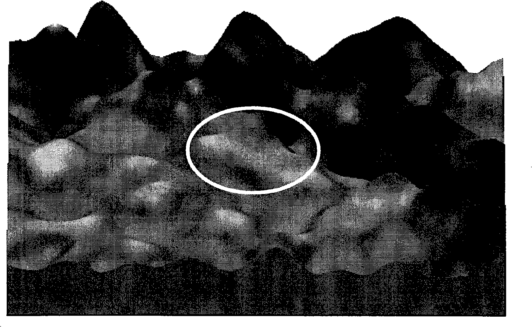
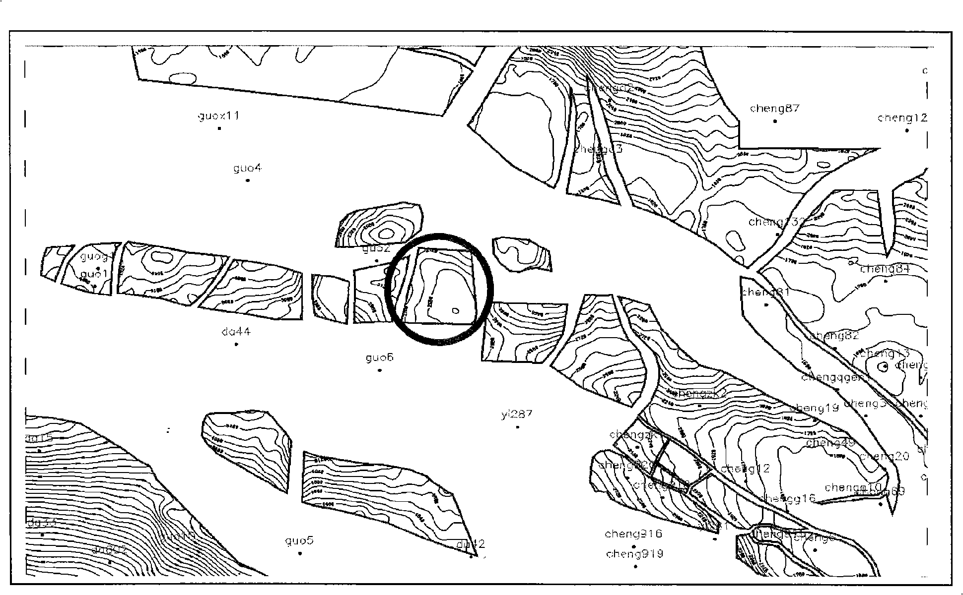
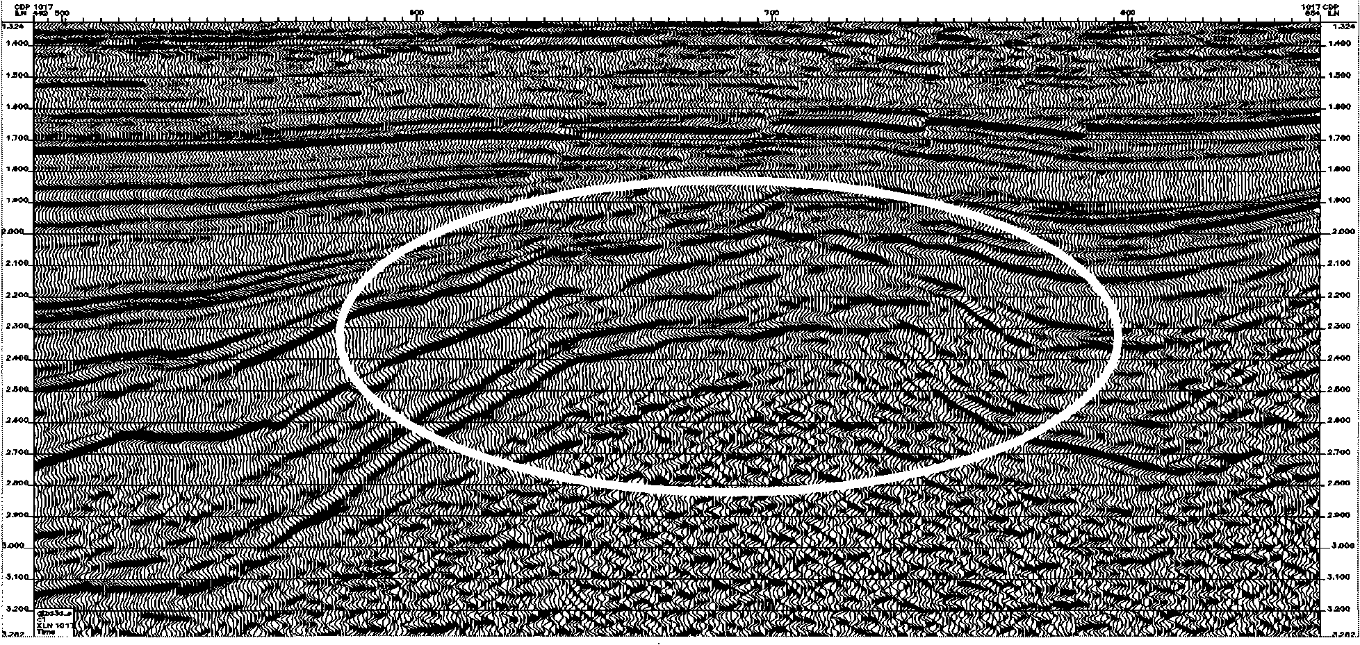
[0042] Example 1: see attached figure 1 , attached figure 2 , attached image 3 . The LCR type gravimeter was used to collect 1 / 50,000 high-precision gravity data in a certain area of ​​the JY depression. The gravity data is processed according to the 11 steps described in the content of the invention, namely:

[0043] (1) First, use a gravimeter to collect gravity data in the field, and then perform routine calibration and correction on the gravity data collected in the field;

[0044] (2) Using the Kriging interpolation method in the Surfer software to grid the observed gravity data to form a regular network of gravity data f a (x, y), where x, y are the coordinates of the plane grid point of the gravity data; first select the menu command "Grid (grid) | Data (data)", select in the "Open (open)" dialog box After the data file, click "Open", the "Discrete Data Interpolation" dialog box appears; select "Kriging" from the "Gridding Method" group and click "Ok" ”; the gri...

Embodiment 2

[0060] Example 2: see attached Figure 4 , attached Figure 5 . The airborne magnetometer was used to collect 1 / 50,000 high-precision aeromagnetic data in a certain area of ​​the JY Depression. The aeromagnetic data is processed according to the 11 steps described in the content of the invention, namely:

[0061] (1) First, use a magnetometer to collect aeromagnetic data in the field, and then perform routine calibration and correction on the aeromagnetic data collected in the field;

[0062] (2) Using the Kriging interpolation method in Surfer software to grid the observed aeromagnetic data to form a regular network of aeromagnetic data f a (x, y), where x, y are the plane grid point coordinates of the aeromagnetic data; first select the menu command "Grid (Grid) | Data (Data)", in the "Open (Open)" dialog box, select After determining the data file, click "Open", the "Discrete Data Interpolation" dialog box appears; select "Kriging" from the "Gridding Method" group and c...


PUM


Abstract

The invention relates to a gravity and magnetic data processing method used in physical geography exploration, comprising the following steps that: with a wave-number domain, a gravity and magnetic data frequency spectrum is respectively multiplied by an n derivative in any direction( or an integral frequency response function), an upward continuation response function and a finite difference method downward continuation operation frequency response function to obtain a frequency spectrum after downward continuation; and the frequency spectrum after downward continuation is quickly carried out through inverse Fourier transform to obtain a three-dimensional gravity data volume after downward continuation. The three-dimensional gravity data volume after downward continuation is used to combine data about earthquake, geology and wellboring to compare and analyze next favorable zone and objective to be explored. The method has lager downward continuation depth and excellent anti-noise capability, thereby acquiring a stable lower half-space three-dimensional gravity and magnetic data distribution image.

Description

technical field [0001] The invention relates to the technical field of geophysical exploration, in particular to a method for processing gravity and magnetic data in geophysical exploration, which can obtain the distribution of gravity and magnetic anomalies in underground space, and thus can effectively describe underground geological bodies in detail. Background technique [0002] Gravity exploration and magnetic exploration both belong to geophysical exploration. Gravity exploration is to use a gravimeter to observe the gravity anomaly caused by the density difference of underground materials in the field to find out the underground geological structure and lithologic anomalies. Magnetic exploration is the use of magnetometers to observe magnetic anomalies caused by magnetic differences in underground objects in the field to identify underground geological structures and magnetic anomalies such as volcanic rocks. [0003] Gravity and magnetic exploration is a systematic p...

Claims


Application Information

Patent Timeline
Patent Type & Authority Applications(China)
IPC IPC(8): G01V7/06
Inventor 杨辉
Owner PETROCHINA CO LTD
Learn More