Scene matching method for raising navigation precision and simulating combined navigation system
A scene matching and navigation system technology, applied in the field of integrated navigation simulation system, can solve the problems of filter divergence, consumption of matching calculation time, difficulty in satisfying the real-time performance of scene matching auxiliary navigation system, etc.
- Summary
- Abstract
- Description
- Claims
- Application Information
AI Technical Summary
Problems solved by technology
Method used
Image
Examples
Embodiment 1
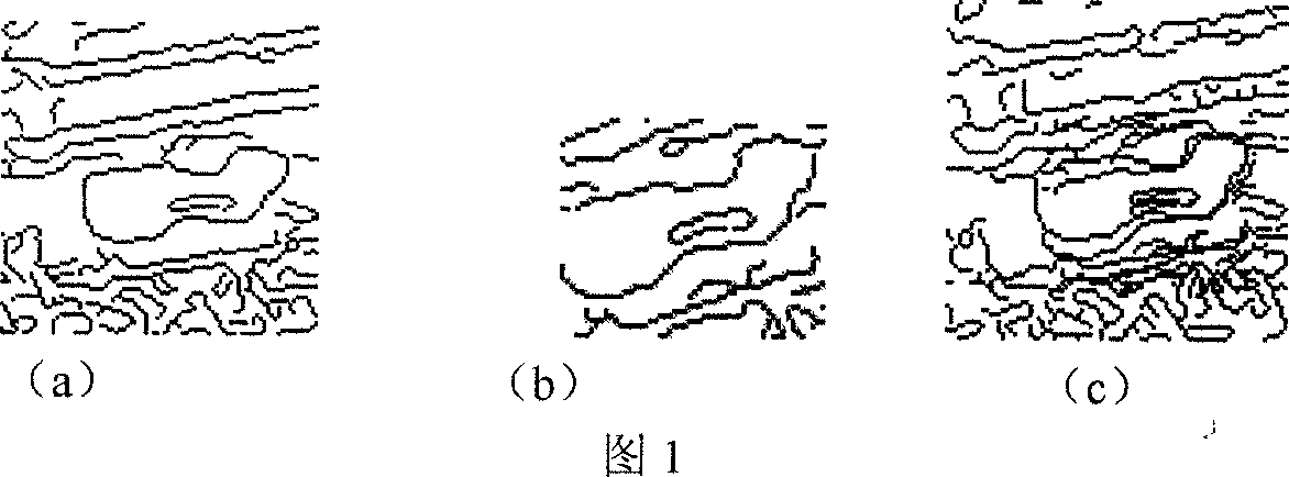
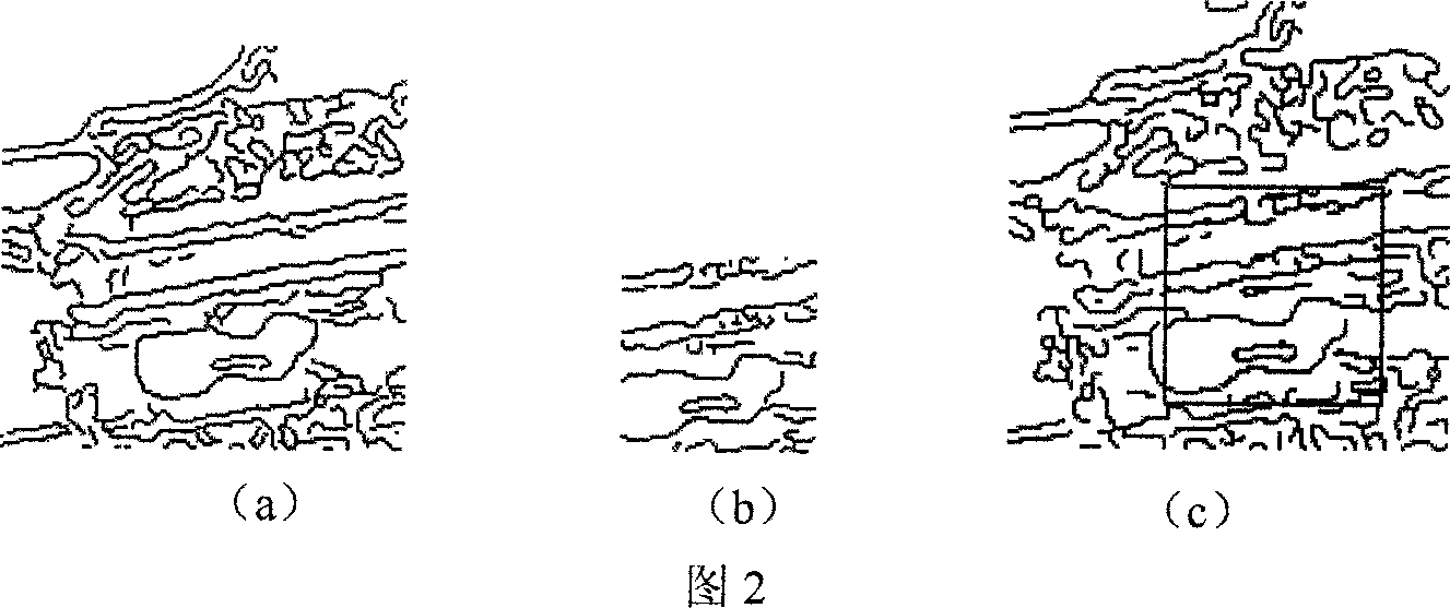
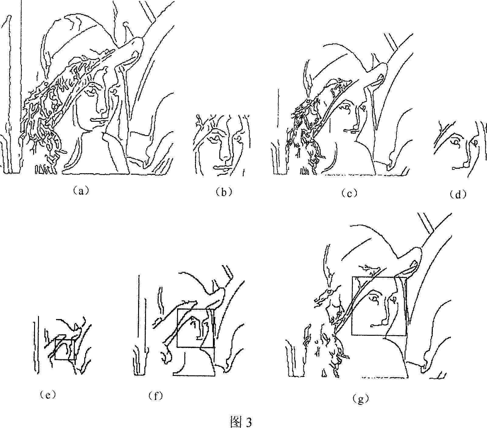
[0180] Embodiment 1: This implementation is a method for utilizing scene matching to improve the accuracy of the navigation system, comprising the following steps:
[0181] 1.1 The terrain scene matching module in the integrated navigation system reads terrain data according to the terrain digital picture: the terrain digital picture adopts BMP format: 4 bytes of file header, 50 bytes of file information header, and the data of the picture is from bottom to top storage. First read in the file header and file information header, where the file information header contains the width and height values of the picture, and the picture data can be read in correctly according to this information. Since the picture data format required by the scene matching method is top-down, it is necessary to reverse the order of the obtained picture data before matching;
[0182] 1.2 According to the latitude and longitude obtained by the current inertial navigation system, find the mapping poin...
Embodiment 2
[0262] Embodiment 2: The integrated navigation simulation system of this embodiment includes a track planning module, a flight control module, a track generator, an inertial navigation module, a terrain scene matching module and an image display module, wherein, after the system accepts user instructions, Select and open the terrain digital picture file in the track planning module and display it in the image display module, then set the geographic location of the terrain picture, and then select the waypoint in the terrain area to obtain the waypoint information in the terrain area to complete the track planning; the output signal of the trajectory planning module is input into the flight control module, in the flight control module, firstly, the formula
[0263] head=a tan(R N cos Lδλ / R M δL)
[0264] Where head is heading angle, a is heading angle change rate, L is longitude, λ is latitude, R N is the radius of Maoyou circle, R M is the radius of the meridian circle, c...
PUM
 Abstract
Description
Claims
Application Information
 - R&D
- Intellectual Property
- Life Sciences
- Materials
- Tech Scout
- Unparalleled Data Quality
- Higher Quality Content
- 60% Fewer Hallucinations
Browse by: Latest US Patents, China's latest patents, Technical Efficacy Thesaurus, Application Domain, Technology Topic, Popular Technical Reports.
© 2025 PatSnap. All rights reserved.Legal|Privacy policy|Modern Slavery Act Transparency Statement|Sitemap|About US| Contact US: help@patsnap.com


