
System and method for sensor positioning and vehicle tracking using lpr based spatial constraints

a technology of spatial constraints and sensor positioning, applied in the field of tracking objects, can solve the problems of not all streets may be equipped with lprs, expensive cameras and lprs, etc., and achieve the effect of improving coverag

Inactive Publication Date: 2017-04-20
AGT INTERNATIONAL INC
View PDF1 Cites 8 Cited by
  • Summary
  • Abstract
  • Description
  • Claims
  • Application Information

AI Technical Summary

Benefits of technology

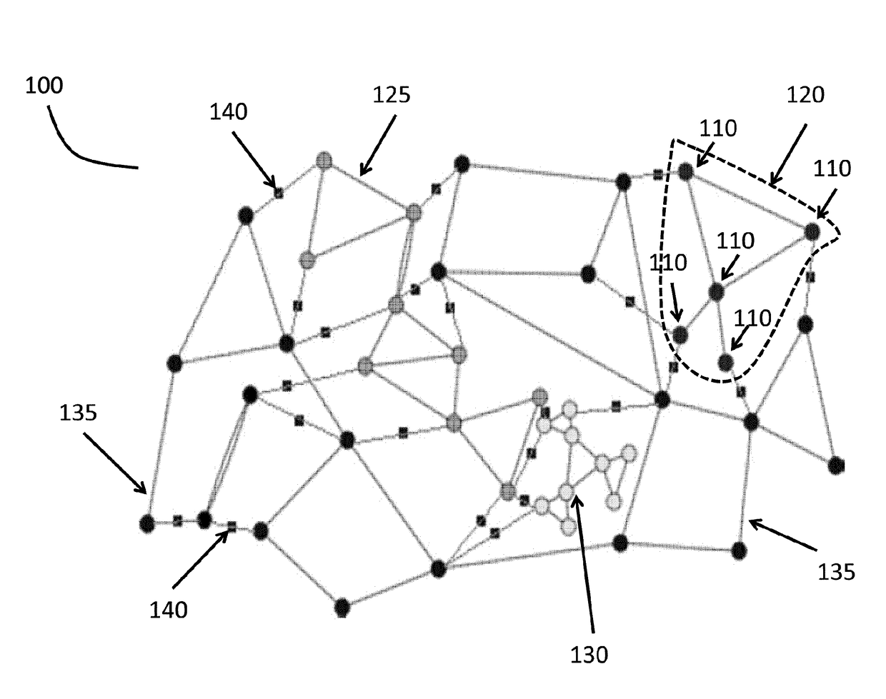
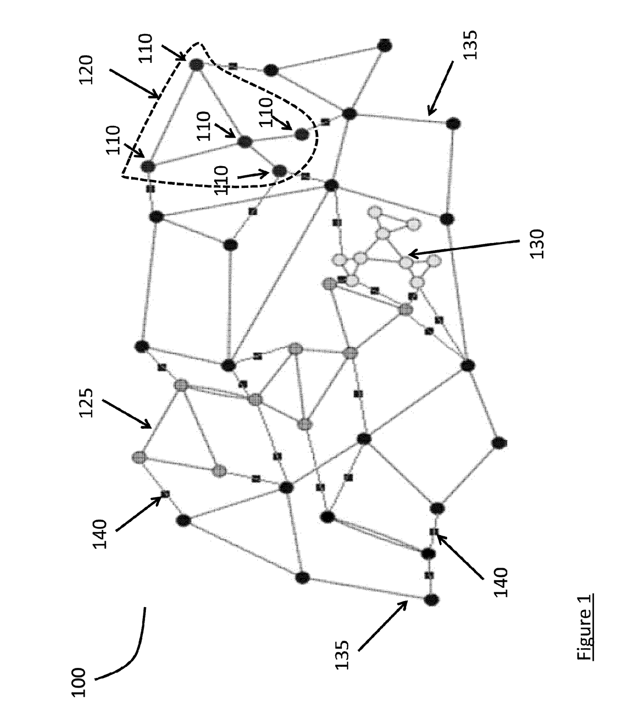
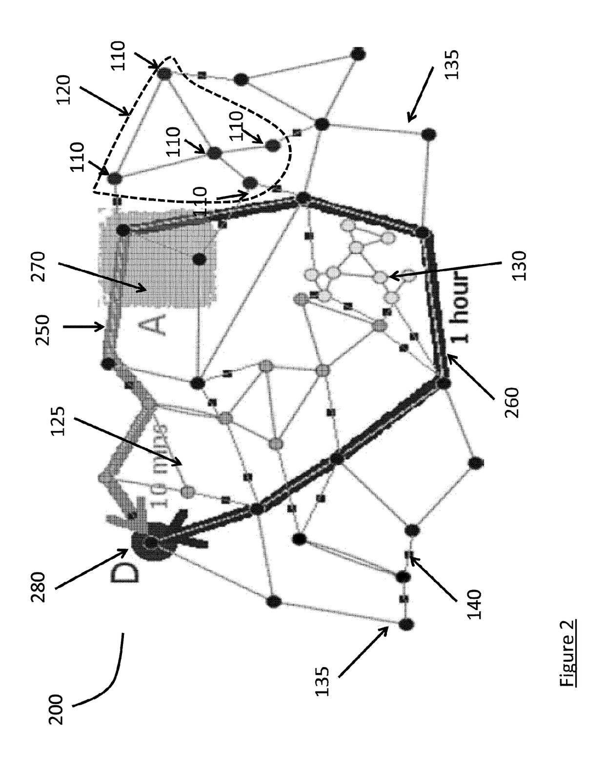
The present invention provides an approach for object tracking that can track objects that move through a zone without needing to know how long ago the incident occurred. The system uses a graph to identify fully covered zones and incomplete zones, and then determines the best path to reach any destination. The system also uses probability functions to assess alternative paths. The invention can be implemented using a computer network connected to sensors, and can be used in a transitory or non-transitory computer-readable medium. Overall, the invention provides a more robust and effective way to track objects in a variety of situations.

Problems solved by technology

Cameras and LPRs are expensive, so not all streets may be equipped with LPRs.

Method used


Image

  • System and method for sensor positioning and vehicle tracking using lpr based spatial constraints
  • System and method for sensor positioning and vehicle tracking using lpr based spatial constraints
  • System and method for sensor positioning and vehicle tracking using lpr based spatial constraints

Examples


Embodiment Construction

[0012]In the following detailed description, numerous specific details are set forth in order to provide a thorough understanding of the invention. However, it will be understood by those skilled in the art that the present invention may be practiced without these specific details. In other instances, well-known methods, procedures, and components have not been described in detail so as not to obscure the present invention.

[0013]An incident may occur involving an object, or vehicle, within a geographic region. Sensors can be located around and throughout a geographic region. The geographic region can be divided into sub-regions, or sub-zones, based on a map of the region, the location of the sensors, a combination of both or another method. A vehicle may transition among sub-zones by egress from a sub-zone where an incident occurred and ingress to another sub-zone, or by departing the geographic region. When a vehicle transitions among sub-zones sensors detect the vehicle and its tr...


PUM


Abstract

The invention provides methods and systems for identifying objects transitioning boundaries defined around geographic areas using sensors. Objects that are vehicles are detected by license plate reader sensors. Boundaries defining geographic zones and sub-zones are pre-defined graphically by reference to a map or computed based on locations of sensors located within the geographic region. When sensor coverage is incomplete, soft zones are computed and defined. Soft zones are computed using probabilistic models, and are developed to minimize the number of escape paths from any sub-zone around sensor locations. Using these probabilistic models, additional sensors can be optimally placed for further enhancement of the detection system.

Description

FIELD OF THE INVENTION[0001]The invention relates generally to systems and methods for tracking objects. Specifically, the invention relates to surveillance and tracking of a vehicle by using sensors and spatial positioning, for example, license plate recognition (LPR) sensors at known locations.BACKGROUND OF THE INVENTION[0002]Geographical regions, for example cities, may have license plate recognition (LPR) or LPR gates installed throughout such regions. These LPR gates may be used to identify a vehicle that passes through such a gate. Zones may be identified by the spatial location of these gates. Information may only be passed to monitoring systems about a vehicle at the time an LPR gate actually reads a corresponding license plate. Cameras and LPRs are expensive, so not all streets may be equipped with LPRs.SUMMARY OF THE INVENTION[0003]An embodiment of the system is an approach for object tracking. It allows for tracking independent of the time which elapsed since an incident ...

Claims


Application Information

Patent Timeline
Patent Type & Authority Applications(United States)
IPC IPC(8): G08G1/00G06K9/32G08G1/017
CPCG08G1/205G06K9/325G08G1/0175G06V20/62
Inventor FRANGIADAKIS, NIKOLAOSHEREMANS, ROEL
Owner AGT INTERNATIONAL INC
Learn More