Real estate surveying map and method thereof
A technology for real estate surveying and mapping, applied in the field of map surveying and mapping, can solve the problems of small surface capacity, unscientific labeling, and inconvenient search, and achieve the effect of large surface capacity, scientific labeling, and easy search.
- Summary
- Abstract
- Description
- Claims
- Application Information
AI Technical Summary
Problems solved by technology
Method used
Image
Examples
Embodiment Construction
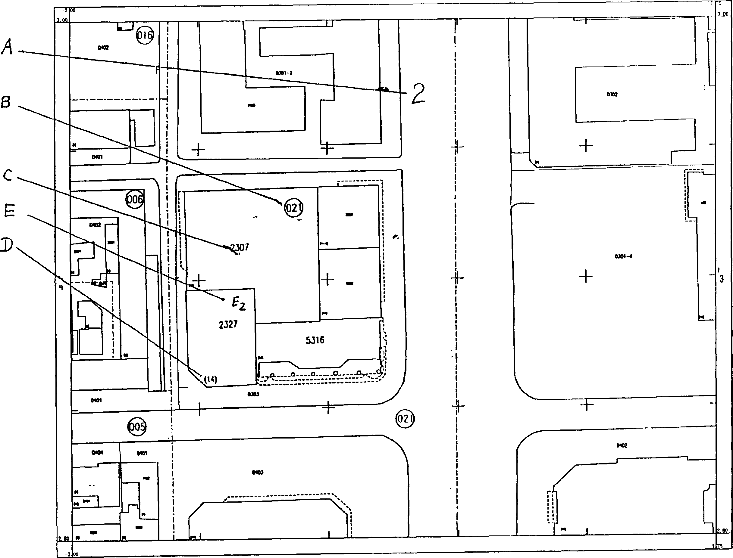
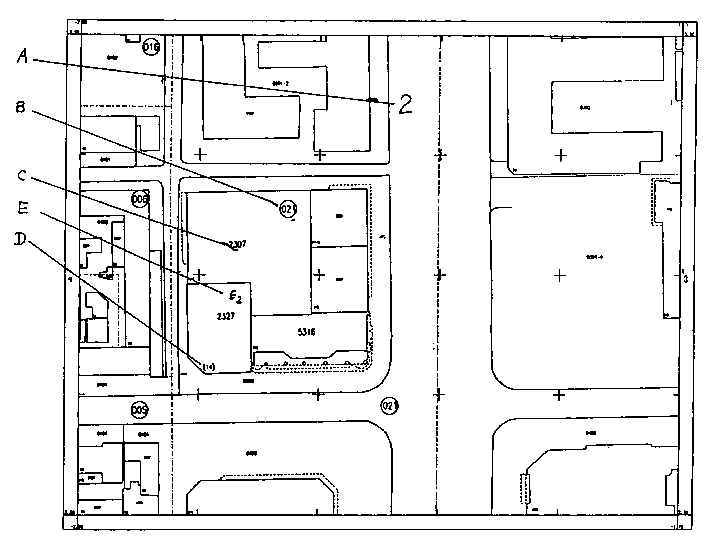
[0027] According to the cadastral map (Figure 1), according to the actual distribution of houses in Changchun City, it is divided into nine real estate areas according to natural and artificial landforms. Code A is 1, 2, 3, 4, 5, 6, 7, 8, and 8. 13 mark and use Separate representation; marked with Arabic numerals inside a circle Until , Is the street code B divided by roads and villages in the real estate area as a unit. Separate representation; take the street as the unit, divide several closed units on the drawing, use the mound code C represented by 0001 to 9999, and the fixed mound boundary is , Undetermined mound boundary , Zhiqiu boundary The building code D marked in the lower left corner of each house is (1) ~ (1234); the household code E is the unit and level of each house, E2 ~ E18.
[0028] The cadastral of Changchun Department Store is expressed as:
[0029] 2 Real estate area, 21st Street Road, 2327 Hills, 14th building, 2nd floor house.
PUM
 Abstract
Description
Claims
Application Information
 - Generate Ideas
- Intellectual Property
- Life Sciences
- Materials
- Tech Scout
- Unparalleled Data Quality
- Higher Quality Content
- 60% Fewer Hallucinations
Browse by: Latest US Patents, China's latest patents, Technical Efficacy Thesaurus, Application Domain, Technology Topic, Popular Technical Reports.
© 2025 PatSnap. All rights reserved.Legal|Privacy policy|Modern Slavery Act Transparency Statement|Sitemap|About US| Contact US: help@patsnap.com


