Regional land utilization optimization configuration method
A technology for optimizing configuration and land, applied in data processing applications, instruments, forecasting, etc., can solve the problems of random changes in forecast results, low reference value of regional planning, and joining, etc., to achieve the effect of high degree of freedom
- Summary
- Abstract
- Description
- Claims
- Application Information
AI Technical Summary
Problems solved by technology
Method used
Image
Examples
Embodiment Construction
[0037] The present invention will be described in detail below in conjunction with the accompanying drawings and specific embodiments.
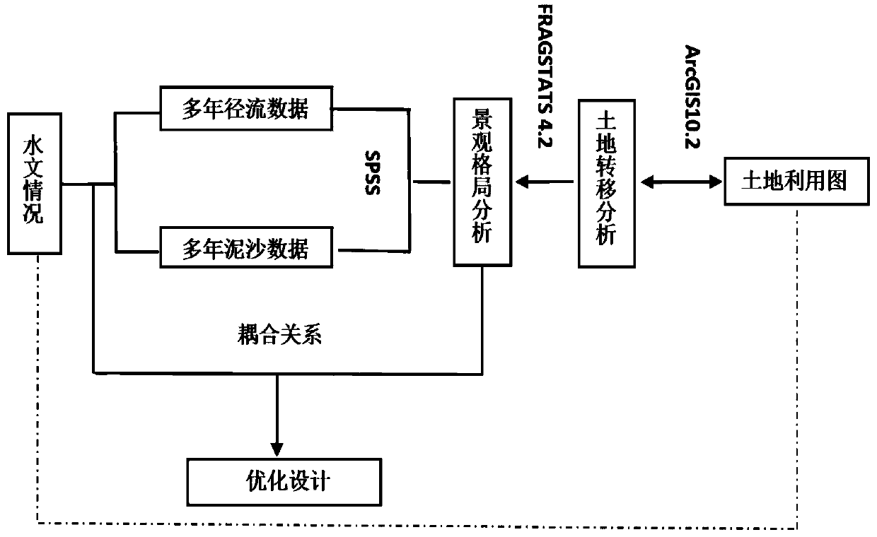
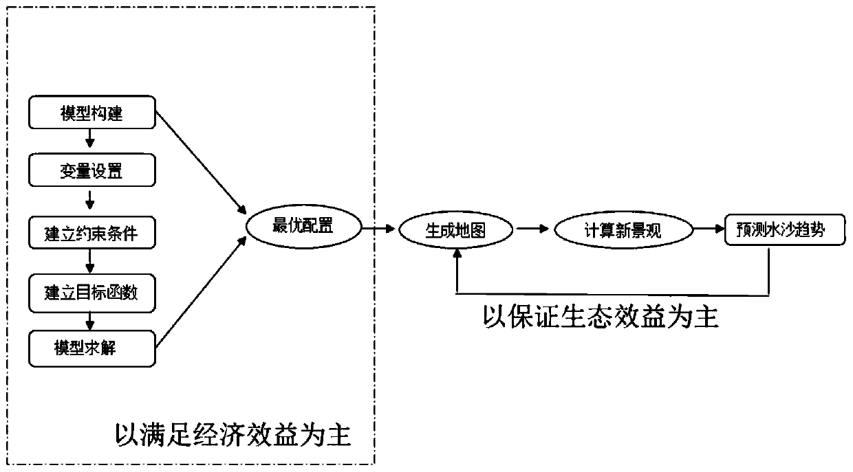
[0038] This is a distinct method for optimal allocation of regional land use, such as figure 1 As shown, it specifically includes the following three steps:
[0039] Step 1. Predict the optimal numerical size of various land use areas
[0040] Step 1.1. Determine the study area, select the study period, and determine the base year and planning and design year;
[0041] Step 1.2. Build a model: Find the statistical yearbooks of administrative regions within the study area, and conduct basic data related to the utilization of cultivated land, forest land, grassland, water bodies, construction land, and unused land within the study area in the past 10-100 years. Statistics, and use the GM(1,1) model to predict the basic data of the design year on the R software, where the basic data includes the total population, arable land, grain output, grain...
PUM
 Abstract
Description
Claims
Application Information
 - R&D Engineer
- R&D Manager
- IP Professional
- Industry Leading Data Capabilities
- Powerful AI technology
- Patent DNA Extraction
Browse by: Latest US Patents, China's latest patents, Technical Efficacy Thesaurus, Application Domain, Technology Topic, Popular Technical Reports.
© 2024 PatSnap. All rights reserved.Legal|Privacy policy|Modern Slavery Act Transparency Statement|Sitemap|About US| Contact US: help@patsnap.com


