Data fusion method and system for monitoring aerosol optical thickness by polar orbit satellite
A technology of optical thickness and data fusion, applied in instruments, character and pattern recognition, computer parts, etc., can solve problems such as inability to monitor all-weather haze, and achieve the effect of strong practicability, novel ideas and clear processes
- Summary
- Abstract
- Description
- Claims
- Application Information
AI Technical Summary
Problems solved by technology
Method used
Image

Examples
Embodiment 1
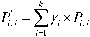
[0050] The data fusion method for monitoring aerosol optical depth by polar-orbiting satellites of the present embodiment includes the following steps:
[0051] (1) Daily polar-orbiting satellite data acquisition.
[0052] Determine the observation area G, and divide the area G into S×R grids. According to the daily orbit reports of MODIS polar-orbiting satellites and FY series polar-orbiting satellites, the number n of satellites passing through area G is obtained. Sort each passing satellite according to the time sequence of the day's transit, and number it as ST 1 , ST 2 ···ST n .
[0053] (2) Calculation of satellite monitoring values of aerosol optical depth.
[0054]According to the sequence of satellites determined in step (1), the daily transit satellite data are received, and the aerosol optical depth on the grid point is calculated. For S×R grids, if the satellite does not pass through the grid point, the aerosol optical depth Thickness takes a value of 0. T...
Embodiment 2
[0084] This embodiment is an application example of Embodiment 1, and this embodiment is described by taking satellite monitoring of aerosol optical depth in a certain province on a certain day as an example for fusion calculation. This embodiment includes the following steps:
[0085] (1) Polar-orbiting satellite data acquisition.
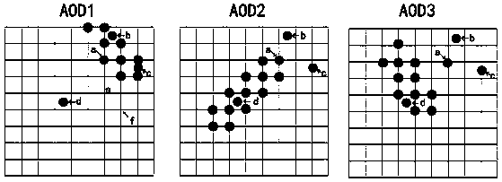
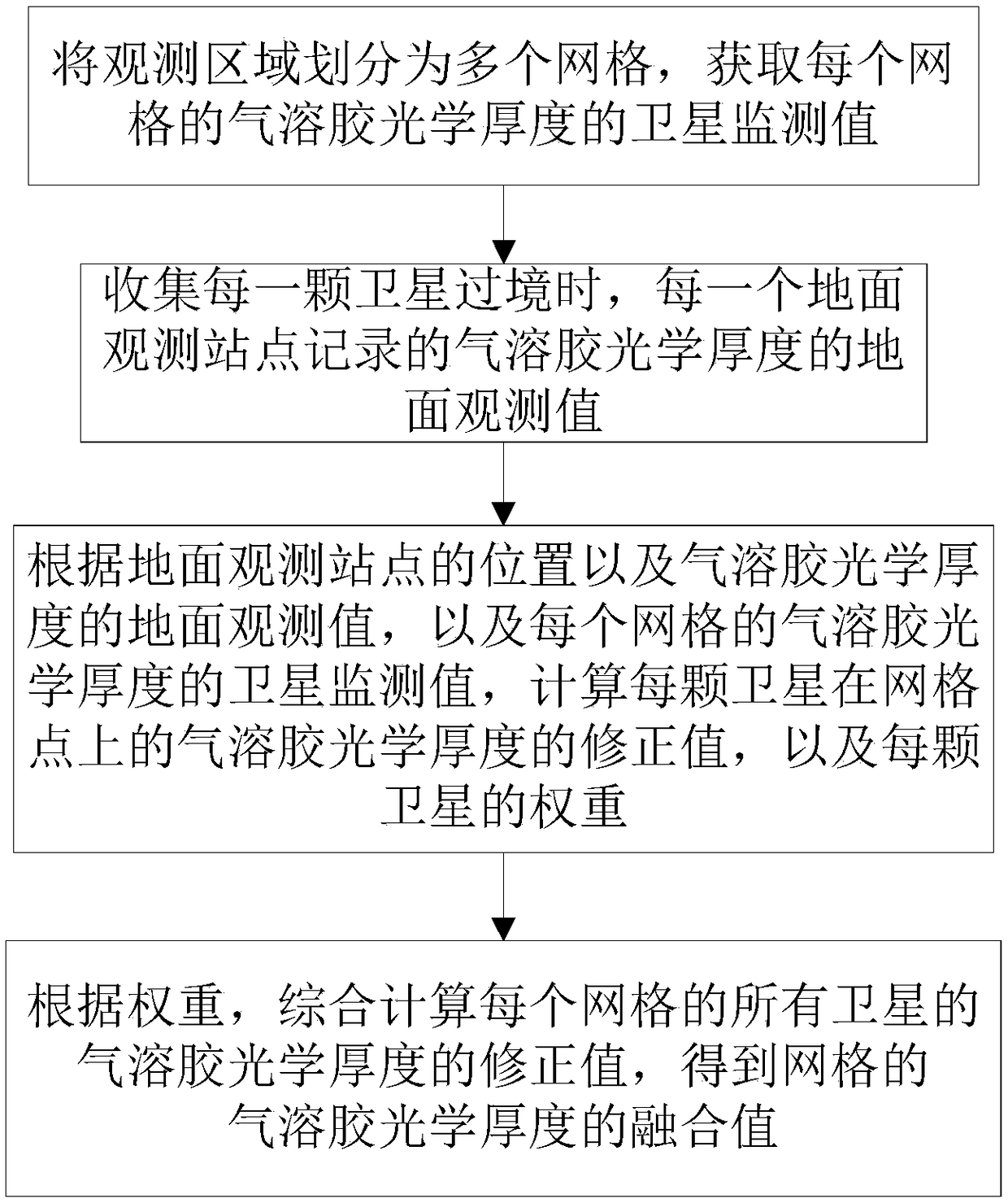
[0086] Determine the observation area as 20°N-30°N, 105°E-115°E, marked as G, and divide the area G into 10×10 grids. According to the orbit reports of MODIS polar-orbiting satellites and FY series polar-orbiting satellites on that day, the number of satellites passing through area G3 is obtained. Sort each passing satellite according to the time sequence of the day's transit, and number it as ST 1 , ST 2 , ST 3 .
[0087] (2) Calculation of satellite monitoring values of aerosol optical depth.
[0088] According to the sequence of satellites determined in step (1), receive the daily transit satellite data, and judge whether the satellite ...
Embodiment 3
[0115] This embodiment provides a data fusion system for monitoring aerosol optical depth by polar-orbiting satellites, including a memory, a processor, and a computer program stored on the memory and operable on the processor. When the processor executes the computer program, any of the above-mentioned Example steps.
[0116] In summary, based on the ground observation results, the present invention evaluates the inversion quality of the aerosol optical depth retrieved by different polar-orbiting satellites. According to the inversion quality, the fusion weights of different polar-orbiting satellite data are constructed, respectively. The satellite monitoring of aerosol optical depth at each point is fused to obtain the distribution of aerosol optical depth in the whole region.
[0117] The invention adds ground observation information to satellite observation information, the process is intuitive and simple, the accuracy rate is high, the monitoring accuracy of pollution is ...
PUM
 Abstract
Description
Claims
Application Information
 - R&D
- Intellectual Property
- Life Sciences
- Materials
- Tech Scout
- Unparalleled Data Quality
- Higher Quality Content
- 60% Fewer Hallucinations
Browse by: Latest US Patents, China's latest patents, Technical Efficacy Thesaurus, Application Domain, Technology Topic, Popular Technical Reports.
© 2025 PatSnap. All rights reserved.Legal|Privacy policy|Modern Slavery Act Transparency Statement|Sitemap|About US| Contact US: help@patsnap.com