
A Spatial Discretization Method for Soil Infiltration Capacity of Gridded Hebei Model

A spatially discrete and grid-based technology, applied in design optimization/simulation, special data processing applications, etc., can solve the problems of not being able to truly describe the runoff process of each point in the watershed, and not considering the change of hydrological process, etc.

Active Publication Date: 2020-07-07
CHINA INST OF WATER RESOURCES & HYDROPOWER RES
View PDF5 Cites 0 Cited by
  • Summary
  • Abstract
  • Description
  • Claims
  • Application Information

AI Technical Summary

Problems solved by technology

The lumped hydrological model reduces the data requirements for parameter calibration because the model itself has fewer parameters, but because it does not consider the changes in the hydrological process in the watershed, it cannot truly describe the runoff process at each point in the watershed

Method used


Image

  • A Spatial Discretization Method for Soil Infiltration Capacity of Gridded Hebei Model
  • A Spatial Discretization Method for Soil Infiltration Capacity of Gridded Hebei Model
  • A Spatial Discretization Method for Soil Infiltration Capacity of Gridded Hebei Model

Examples


Embodiment Construction

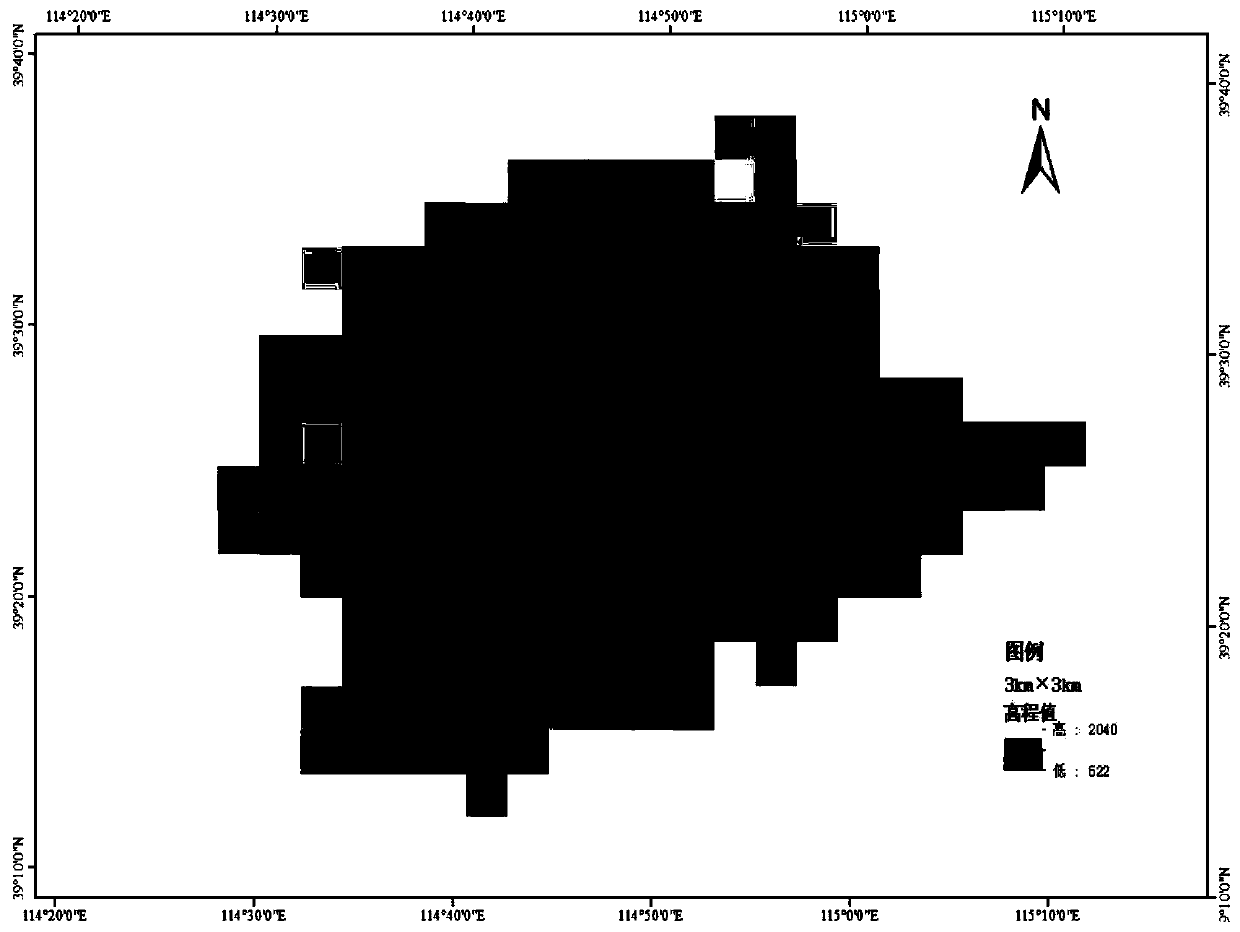
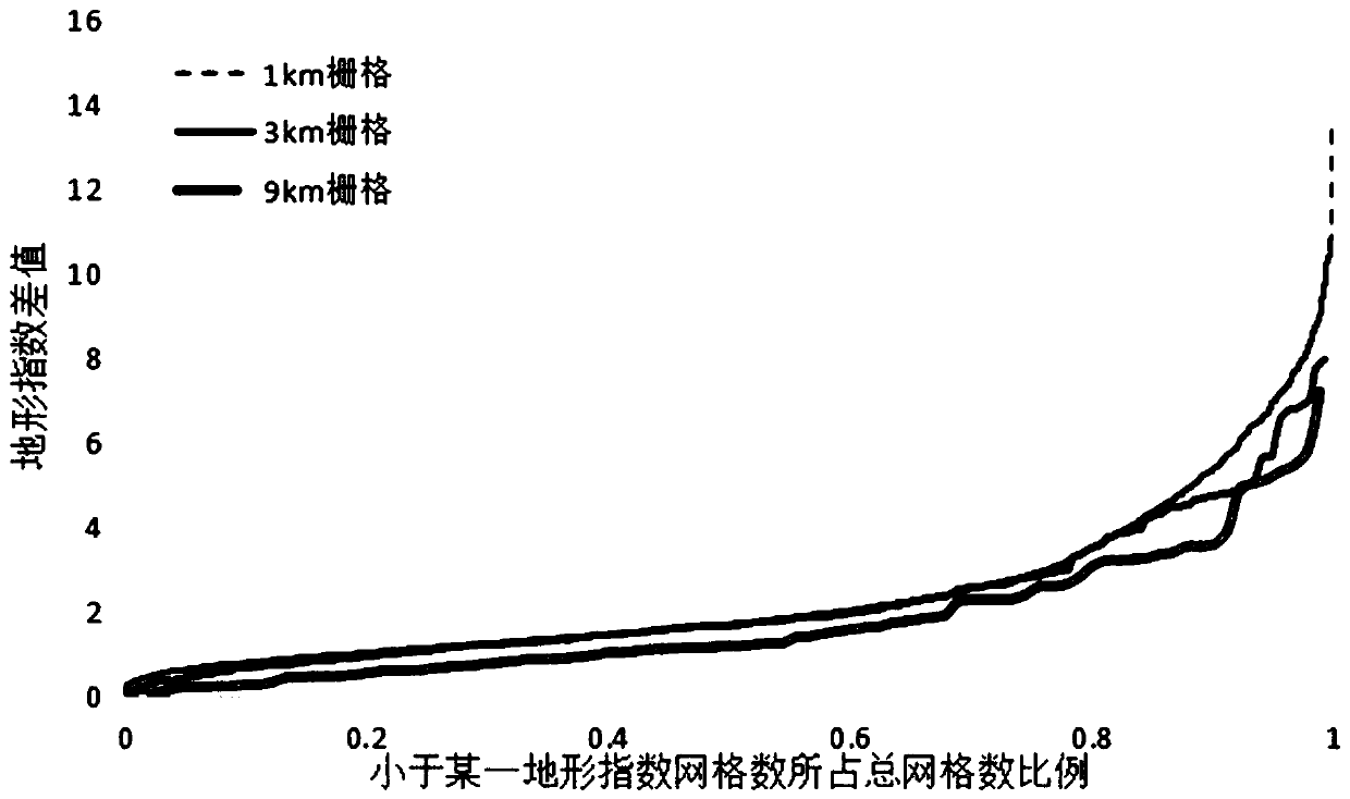
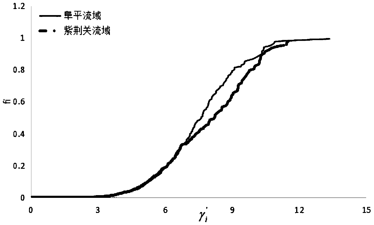
[0037] Combine below Figure 1 to Figure 3 , the present invention is further described:

[0038] This embodiment is a method for spatially discretizing the soil infiltration capacity of the gridded Hebei model. The process is as follows figure 1 shown. The steps of the method described in this embodiment are as follows:

[0039] Step 1: Determine the grid size of the established gridded Hebei model according to the scope of the study area and research needs, such as 30m×30m, 500m×500m or 1km×1km, and the size of each grid should be consistent during a modeling process ;

[0040] Step 2: With the help of the hydrological analysis tool in Arcgis 10.2, the cumulative flow matrix of the watershed is obtained by the single-flow method. The number marked by the cumulative flow matrix is ​​the number of flow grids that flow into the cell from the upstream of each cell, and at the same time, the cumulative flow of each grid is obtained. the flow direction;

[0041] In step 3, th...


PUM


Abstract

The invention relates to a spatial discretization method of soil infiltration capacity of a gridded Hebei model, includes determining mesh size, obtaining mesh flow direction, calculating confluence area, calculating slope of each mesh, calculating topographic index, calculating topographic index difference of each mesh, establishing topographic index cumulative distribution curve, fitting infiltration capacity and topographic index difference corresponding to the same area ratio. Through the coding method of the invention, the grid discretization of the infiltration capacity can be realized,and the technical support is provided for establishing a grid-type Hebei model. The influence of the unevenness of the underlying surface on the runoff production can be reflected by using the topographic index as a conversion medium.

Description

technical field [0001] The invention relates to a method for constructing a hydrological model, in particular to a spatial discrete method for soil infiltration capacity of a gridded Hebei model. Background technique [0002] The Hebei model is a conceptual lumped hydrological model for semi-arid and semi-humid regions developed on the basis of the flow-confluence mechanism of many hydrological models at home and abroad, combined with the regional characteristics of Hebei Province. At present, the Hebei model has become one of the main forecasting models in China's flood forecasting system, especially in the semi-arid and semi-humid areas of northern my country, where it is widely used due to its good forecasting accuracy. The Hebei model has two runoff mechanisms: full-storage runoff and super-seepage runoff. The model divides natural runoff into two water sources: surface runoff and underground runoff. The condition is that the amount of infiltrating water satisfies the w...

Claims


Application Information

Patent Timeline
Patent Type & Authority Patents(China)
IPC IPC(8): G06F30/20
CPCG06F30/20
Inventor 刘佳李传哲王洋邱庆泰田济扬孙锐于新哲焦裕飞王维
Owner CHINA INST OF WATER RESOURCES & HYDROPOWER RES
Learn More