Unmanned aerial vehicle surveying and drawing method

A drone and ground technology, applied in the field of surveying and mapping, can solve problems such as troublesome splicing and reduced accuracy, and achieve the effect of saving steps and improving accuracy

Active Publication Date: 2018-09-21
平湖市城工建设测绘设计有限责任公司
View PDF6 Cites 10 Cited by
  • Summary
  • Abstract
  • Description
  • Claims
  • Application Information

AI Technical Summary

Problems solved by technology

However, the above-mentioned surveying and mapping jigsaw puzzle is to complete the surveying and mapping by calculating each space point, making them have the same proportion and then splicing them. reduced during conversion

Method used


Image

  • Unmanned aerial vehicle surveying and drawing method
  • Unmanned aerial vehicle surveying and drawing method

Examples


Embodiment Construction

[0035] The present invention will be described in detail below in conjunction with the accompanying drawings.

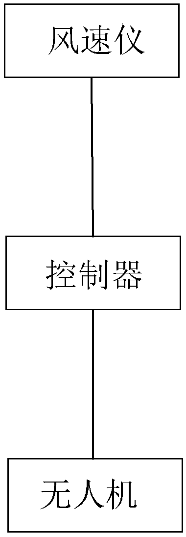
[0036] An unmanned aerial vehicle surveying and mapping method, such as figure 1 shown, including the following steps:

[0037] 1) Establish a ground reference signal station; as a static standard reference point for the entire UAV, it forms a fixed space coordinate system, and can measure the position signal of the UAV, and the measurement is relatively accurate; the ground reference signal station can use GNSS and other global The composition of the navigation satellite system;

[0038] 2) Calibrate the UAV airborne positioning system with the ground reference signal station; after the airborne positioning system is calibrated with the ground reference signal station, the data of the airborne system can be in one-to-one correspondence with the data of the ground reference signal station, and then Easy to read and pair; general drones also use the same navigation ...


PUM


Abstract

The invention discloses an unmanned aerial vehicle surveying and drawing method. The unmanned aerial vehicle surveying and drawing method comprises the following steps that 1, a ground reference signal station is built; 2, an airborne positioning system of an unmanned aerial vehicle and the ground reference signal station are calibrated; 3, the unmanned aerial vehicle is made to fly to a fixed position for preparing to start a survey; 4, the unmanned aerial vehicle flies up and down for shooting and sampling; 5, the shot sampling data and unmanned aerial vehicle positioning data of the airborne positioning system are correspondingly stored in real time, and transmitted to the ground reference signal station; 6, the unmanned aerial vehicle is made to repeatedly fly for shooting; 7, the shooting data of information about the same height is taken out for shooting and mosaic. For a same position, shooting is conducted at different heights, and then when the unmanned aerial vehicle is affected by the external environment to fluctuate, errors can be reduced through the shooting data of multiple heights, and the surveying and drawing accuracy is improved; through multi-time repeated flying and shooting, calibration can be conducted, and therefore, the surveying and drawing accuracy is further improved.

Description

technical field [0001] The present invention relates to a surveying and mapping method, more specifically, it relates to a drone surveying and mapping method. Background technique [0002] UAV aerial survey is a powerful supplement to traditional aerial photogrammetry. It has the characteristics of flexible maneuverability, high efficiency and speed, precision and accuracy, low operating cost, wide application range, and short production cycle. Obtaining has obvious advantages. With the development of UAV and digital camera technology, digital aerial photography technology based on UAV platform has shown its unique advantages. The combination of UAV and aerial photogrammetry makes "UAV "Digital low-altitude remote sensing" has become a new development direction in the field of aerial remote sensing. UAV aerial photography can be widely used in major national project construction, disaster emergency response and treatment, land supervision, resource development, new countrysi...

Claims


Application Information

Patent Timeline
Patent Type & Authority Applications(China)
IPC IPC(8): G01C15/00H04B7/185
CPCG01C15/00H04B7/18506
Inventor 朱可杰张国平孙磊沈雷
Owner 平湖市城工建设测绘设计有限责任公司
Why Eureka
Try Eureka