Map data display and providing method and corresponding terminal equipment and server
A technology of map data and terminal equipment, applied in the field of Internet applications, can solve problems such as the inability to provide users with additional information, and achieve the effect of enhancing experience and improving stickiness
- Summary
- Abstract
- Description
- Claims
- Application Information
AI Technical Summary
Problems solved by technology
Method used
Image
Examples
Embodiment 1
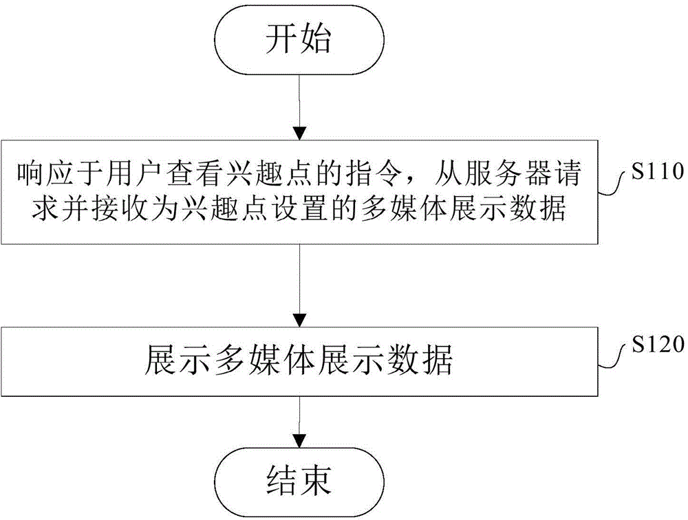
[0028] figure 1 It is a flowchart of a method for displaying map data according to an embodiment of the present invention.
[0029] Such as figure 1 As shown, in step S110, in response to the user's instruction to view the point of interest, the multimedia display data set for the point of interest is requested and received from the server. Wherein, the multimedia display data includes dynamic display data of the POI and additional data about the POI.
[0030] Specifically, when the user needs to view a certain point of interest in the terminal device, he clicks on the point of interest, and the client detects the click command, sends a request instruction to the server, and accepts the dynamic display data and information of the point of interest set for the point of interest. Additional data about points of interest.
[0031] In step S120, the multimedia presentation data is presented.
[0032] Specifically, after receiving the dynamic presentation data of the point of i...
Embodiment 2
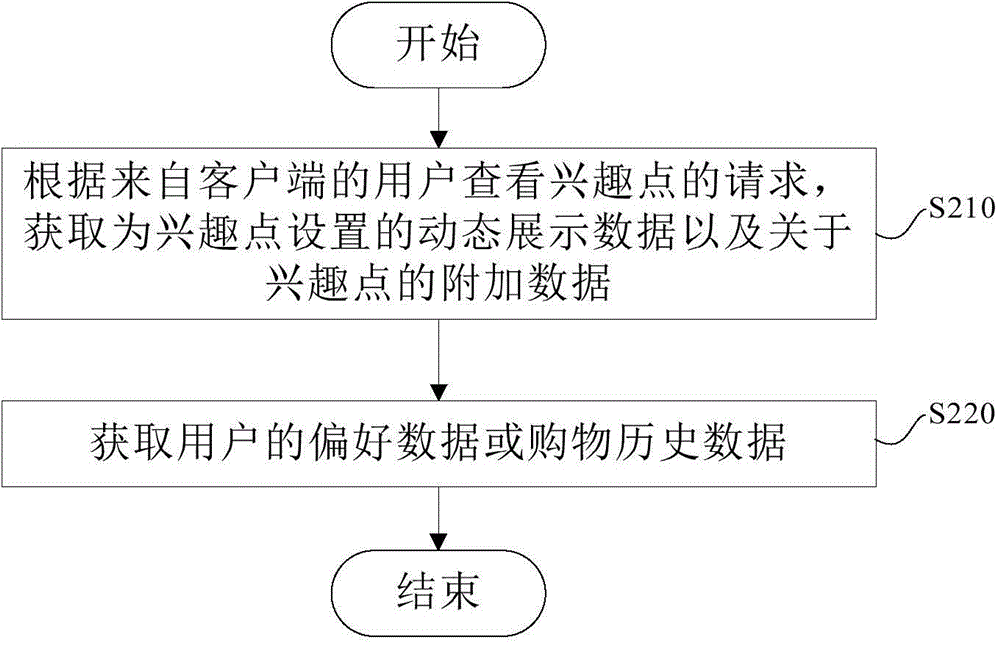
[0038] figure 2 It is a flow chart of a method for providing map data according to an embodiment of the present invention.
[0039] Such as figure 2 As shown, in step S210, according to the user's request from the client to view the POI, the dynamic display data set for the POI and additional data about the POI are obtained.
[0040] Optionally, the above additional data of the point of interest includes promotion data related to the point of interest.
[0041] Optionally, the promotion data includes merchant advertisement data corresponding to the point of interest and / or commodity recommendation information related to the merchant corresponding to the point of interest.
[0042] Further, the process of obtaining product recommendation information related to merchants corresponding to points of interest includes: step S211, obtaining user preference data or shopping history data; step S212, obtaining information related to the merchants based on the preference data or sho...
Embodiment 3
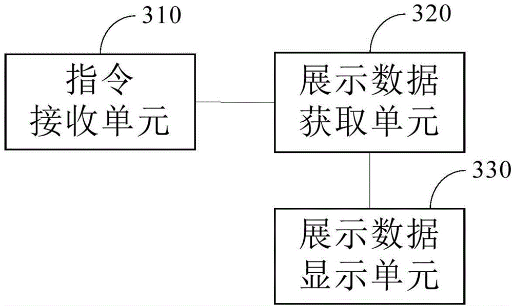
[0049] image 3 It is a block diagram of a terminal device for displaying map data according to an embodiment of the present invention.
[0050] Such as image 3 As shown, the terminal device includes an instruction receiving unit 310 , a presentation data acquisition unit 320 and a presentation data display unit 330 .
[0051] The instruction receiving unit 310 is used for receiving user instructions.
[0052] The display data acquisition unit 320 is configured to request and receive multimedia display data set for the point of interest from the server in response to the instruction received by the instruction receiving unit 310 for the user to view the point of interest.
[0053] The display data display unit 330 is configured to display the multimedia display data, wherein the multimedia display data includes dynamic display data of points of interest and additional data about points of interest.
[0054] Optionally, the above-mentioned additional data of the point of in...
PUM
 Abstract
Description
Claims
Application Information
 - R&D Engineer
- R&D Manager
- IP Professional
- Industry Leading Data Capabilities
- Powerful AI technology
- Patent DNA Extraction
Browse by: Latest US Patents, China's latest patents, Technical Efficacy Thesaurus, Application Domain, Technology Topic, Popular Technical Reports.
© 2024 PatSnap. All rights reserved.Legal|Privacy policy|Modern Slavery Act Transparency Statement|Sitemap|About US| Contact US: help@patsnap.com


