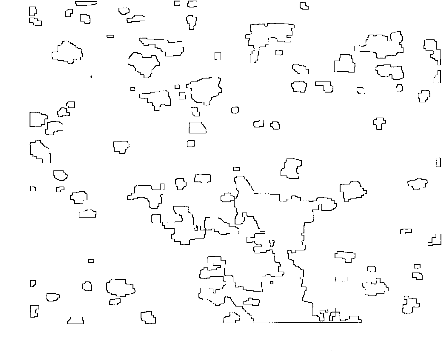
Rural settlement unit information extracting technology based on knowledge discovery QUICKBIRD images
A technology of settlements and images, which is applied in the field of information extraction of rural settlement units, can solve problems such as the difficulty of information extraction of settlement space units
- Summary
- Abstract
- Description
- Claims
- Application Information
AI Technical Summary
Problems solved by technology
Method used
Image
Examples
Embodiment Construction
[0014] 1. Using a polynomial geometric correction model, the 1:10,000 topographic map is used to perform geographical correction on the QUICKBIRD panchromatic band and multispectral images, and the nearest neighbor method is used to determine the brightness value of the pixel.
[0015] 2. Use linear stretching to enhance the image.
[0016] 3. Calculate NDVI using the near-infrared and red bands of the QUICKBIRD image. If B2(i, j)>T and NDVI(i, j)<M then the pixel is a building. Among them, B2(i, j) represents the pixel value of row i and column j of the blue band image. When the value of T is 132 and the value of M is 0.059, the buildings can be extracted.
[0017] 4. Adopt If B4(i, j)
[0018] 5. Adopt If B1(i, j)
PUM
 Abstract
Description
Claims
Application Information
 - R&D Engineer
- R&D Manager
- IP Professional
- Industry Leading Data Capabilities
- Powerful AI technology
- Patent DNA Extraction
Browse by: Latest US Patents, China's latest patents, Technical Efficacy Thesaurus, Application Domain, Technology Topic, Popular Technical Reports.
© 2024 PatSnap. All rights reserved.Legal|Privacy policy|Modern Slavery Act Transparency Statement|Sitemap|About US| Contact US: help@patsnap.com


