A Calculation Method of Airborne Video Sweeping Area
An airborne video and calculation method technology, applied in the direction of instruments, three-dimensional position/course control, control/adjustment system, etc., can solve the problem of low coverage efficiency of reconnaissance, reduce non-coverage rate, improve reconnaissance efficiency, improve accuracy and The effect of accuracy
- Summary
- Abstract
- Description
- Claims
- Application Information
AI Technical Summary
Problems solved by technology
Method used
Image
Examples
Embodiment Construction
[0074] In order to make the object, technical solution and advantages of the present invention clearer, the present invention will be further described in detail below in conjunction with specific embodiments and with reference to the accompanying drawings.
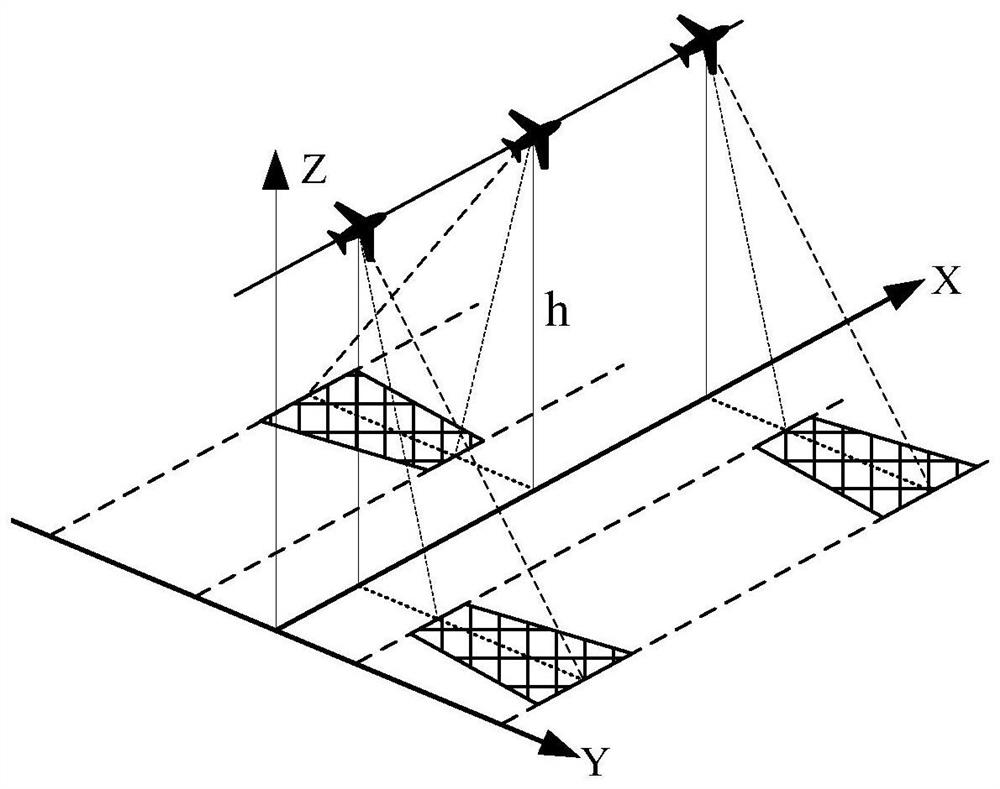
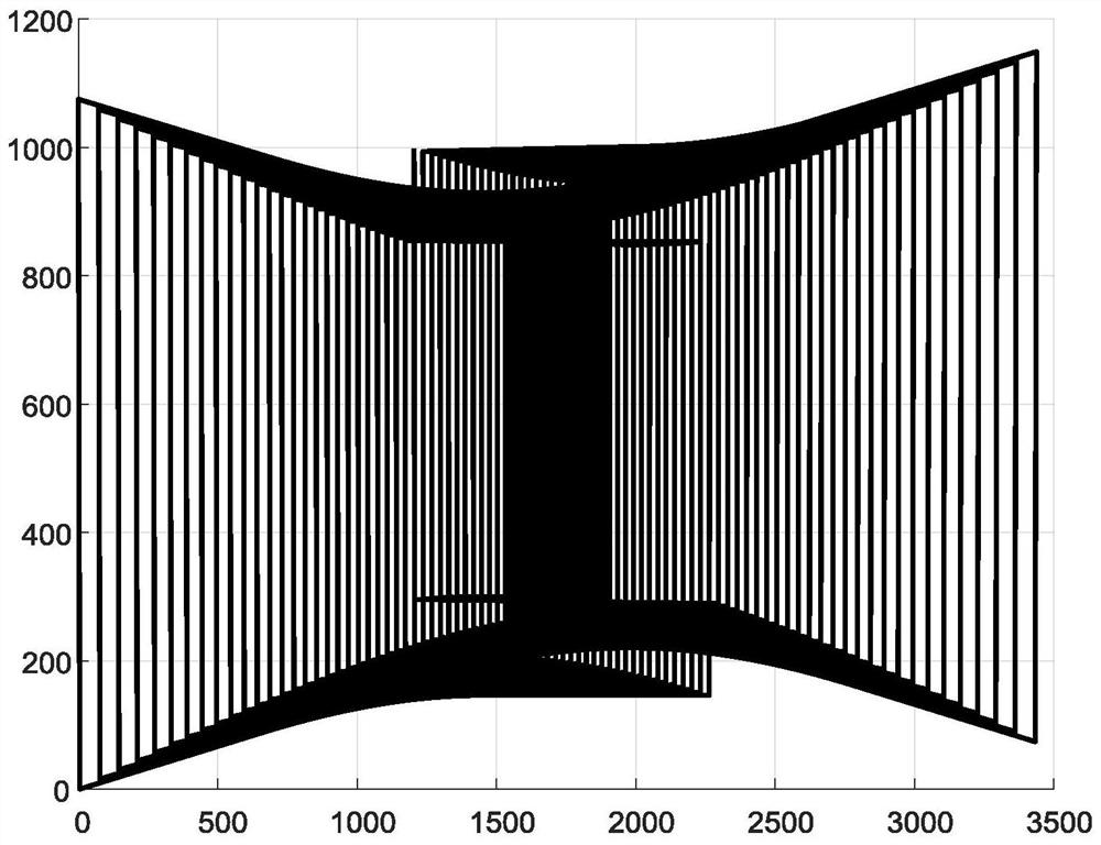
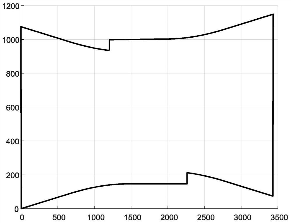
[0075] Such as Figure 1~4 Shown, a kind of airborne video sweeping reconnaissance method to the ground, the specific steps of this method are as follows:
[0076] Step 1: Solve the initial video frame. Establish the basic coordinate system, and solve the coordinates of 5 points of the video frame when the swing angle is 0; the specific method is:
[0077] (101) Establish a basic coordinate system. The origin of the coordinate system is (0,0,0), the x-axis is the heading, and the y-axis is the right side of the wing (the z-axis is determined by the right-hand rule);
[0078] (102) Taking the vertical direction of the load to the ground as the direction of 0 degrees, then the coordinates of the five points of the video ...
PUM
 Abstract
Description
Claims
Application Information
 - R&D Engineer
- R&D Manager
- IP Professional
- Industry Leading Data Capabilities
- Powerful AI technology
- Patent DNA Extraction
Browse by: Latest US Patents, China's latest patents, Technical Efficacy Thesaurus, Application Domain, Technology Topic, Popular Technical Reports.
© 2024 PatSnap. All rights reserved.Legal|Privacy policy|Modern Slavery Act Transparency Statement|Sitemap|About US| Contact US: help@patsnap.com


