Creating and monitoring alerts for geographical area
A geographic and regional technology, applied in geographic information databases, alarms, electronic digital data processing, etc., can solve problems such as impossible general information, time-consuming, and difficult information changes
- Summary
- Abstract
- Description
- Claims
- Application Information
AI Technical Summary
Problems solved by technology
Method used
Image
Examples
Embodiment Construction
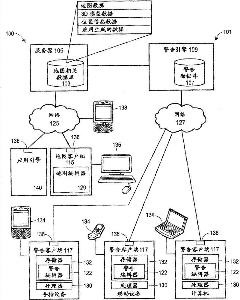
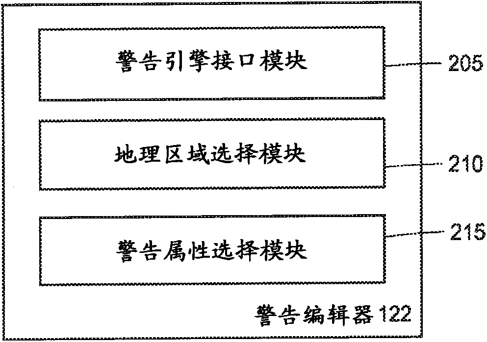
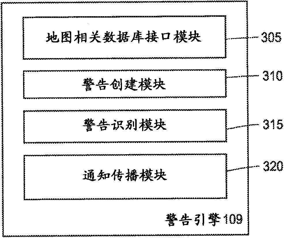
[0019]In general, the warning system creates an alert for a user-specified geographic area as defined on a digital map, and one or more of the features or feature data stored within the map-related database within the user-specified geographic area Notifications are sent to the user when a change occurs. To set or establish a geo-alert, the alert engine retrieves map data from a map-related database and displays the map data to the user in a visual display. The user then designates via the digital display a geographic area to be monitored by the warning system in order to detect changes in data stored in the map-associated database associated with that geographic area. The user may also specify one or more feature types or levels of data as stored in a digital map database to limit the warning to, such as detecting only changes in roads within a specified geographic area, detecting specific levels of map data , or detect changes in relevant features for other types of map dat...
PUM
 Abstract
Description
Claims
Application Information
 - Generate Ideas
- Intellectual Property
- Life Sciences
- Materials
- Tech Scout
- Unparalleled Data Quality
- Higher Quality Content
- 60% Fewer Hallucinations
Browse by: Latest US Patents, China's latest patents, Technical Efficacy Thesaurus, Application Domain, Technology Topic, Popular Technical Reports.
© 2025 PatSnap. All rights reserved.Legal|Privacy policy|Modern Slavery Act Transparency Statement|Sitemap|About US| Contact US: help@patsnap.com


