City center land utilizing method based on mismatch evaluation
A central area and dislocation technology, applied in the field of urban planning, to achieve the effect of easier data acquisition and strong data objectivity
- Summary
- Abstract
- Description
- Claims
- Application Information
AI Technical Summary
Problems solved by technology
Method used
Image

Examples
Embodiment Construction
[0046] Below in conjunction with specific embodiment, further illustrate the present invention, should be understood that these embodiments are only used to illustrate the present invention and are not intended to limit the scope of the present invention, after having read the present invention, those skilled in the art will understand various equivalent forms of the present invention All modifications fall within the scope defined by the appended claims of the present application.
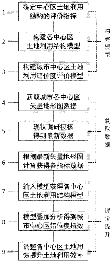
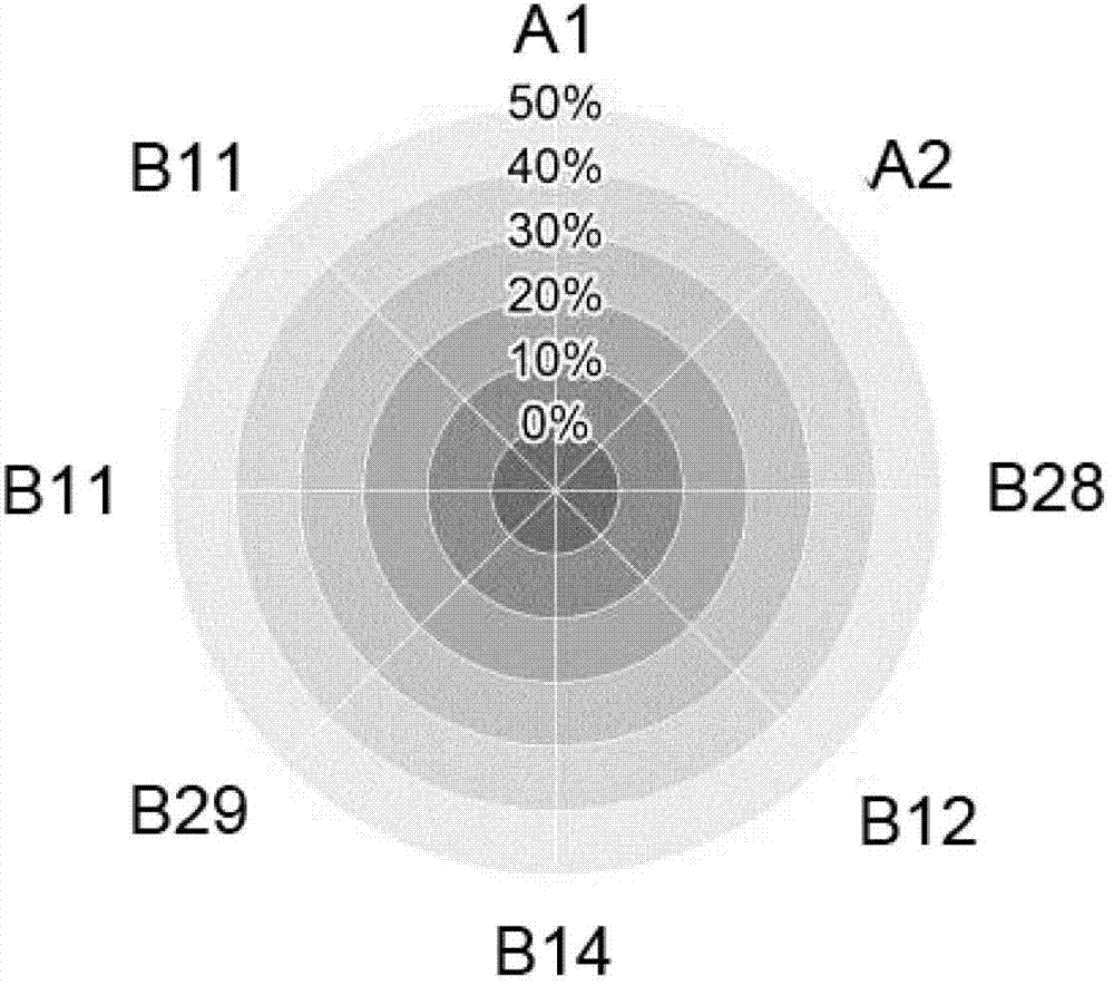
[0047] The land use method of urban central area based on the evaluation of dislocation degree includes 9 steps: firstly, determine the evaluation index of land use structure in the central area, use the AUTOCAD vector editing software to construct the land use structure model of the central area, and then construct the land use structure model of each central area Superimposed to build the evaluation model of land use dislocation degree in the central area; then obtain the vector topographic map d...
PUM
 Abstract
Description
Claims
Application Information
 - R&D
- Intellectual Property
- Life Sciences
- Materials
- Tech Scout
- Unparalleled Data Quality
- Higher Quality Content
- 60% Fewer Hallucinations
Browse by: Latest US Patents, China's latest patents, Technical Efficacy Thesaurus, Application Domain, Technology Topic, Popular Technical Reports.
© 2025 PatSnap. All rights reserved.Legal|Privacy policy|Modern Slavery Act Transparency Statement|Sitemap|About US| Contact US: help@patsnap.com