Airborne electromagnetic time domain system, computer product and method
a time domain and electromagnetic technology, applied in the field of airborne geological mapping, can solve the problems of limit on the maximum transmitter diameter and therefore the obtainable dipole moment, and achieve the effect of improving the sensor resolution
- Summary
- Abstract
- Description
- Claims
- Application Information
AI Technical Summary
Benefits of technology
Problems solved by technology
Method used
Image
Examples
Embodiment Construction
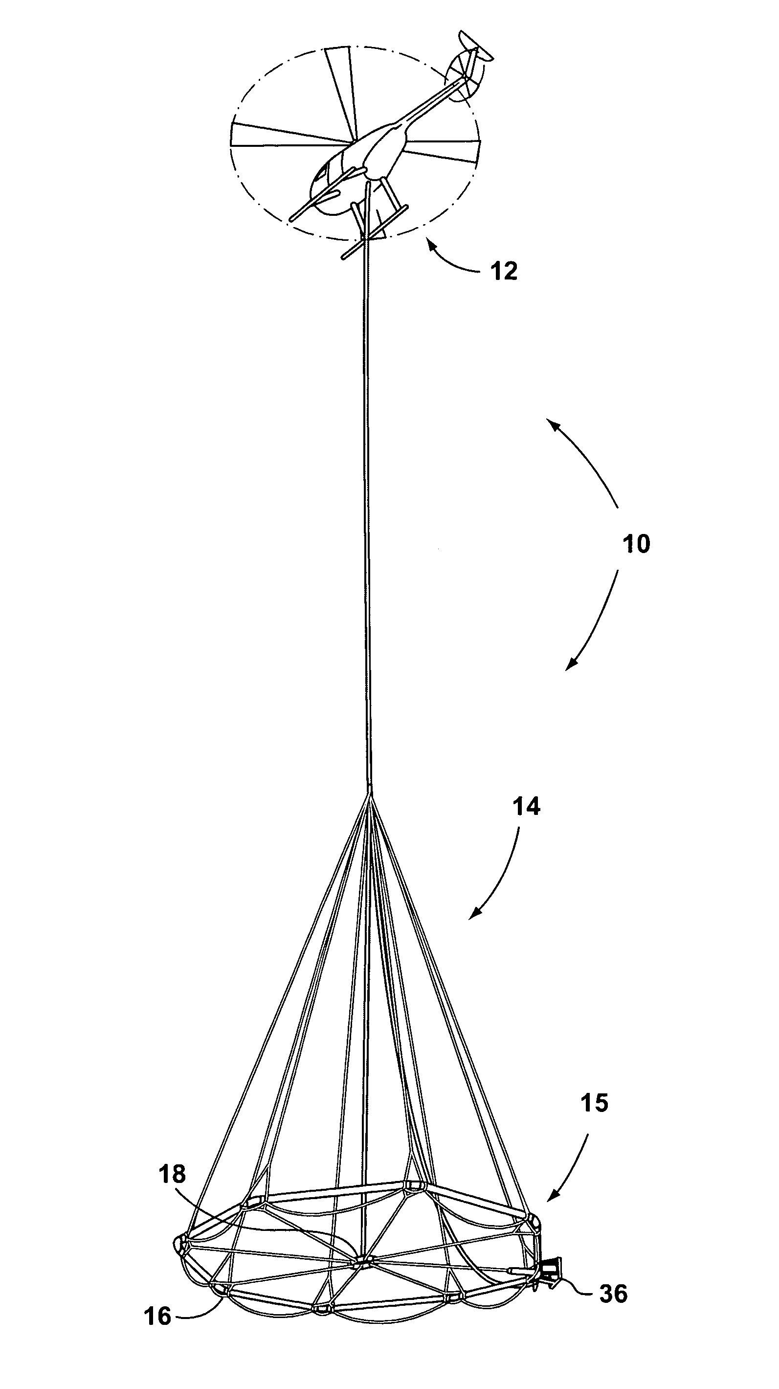
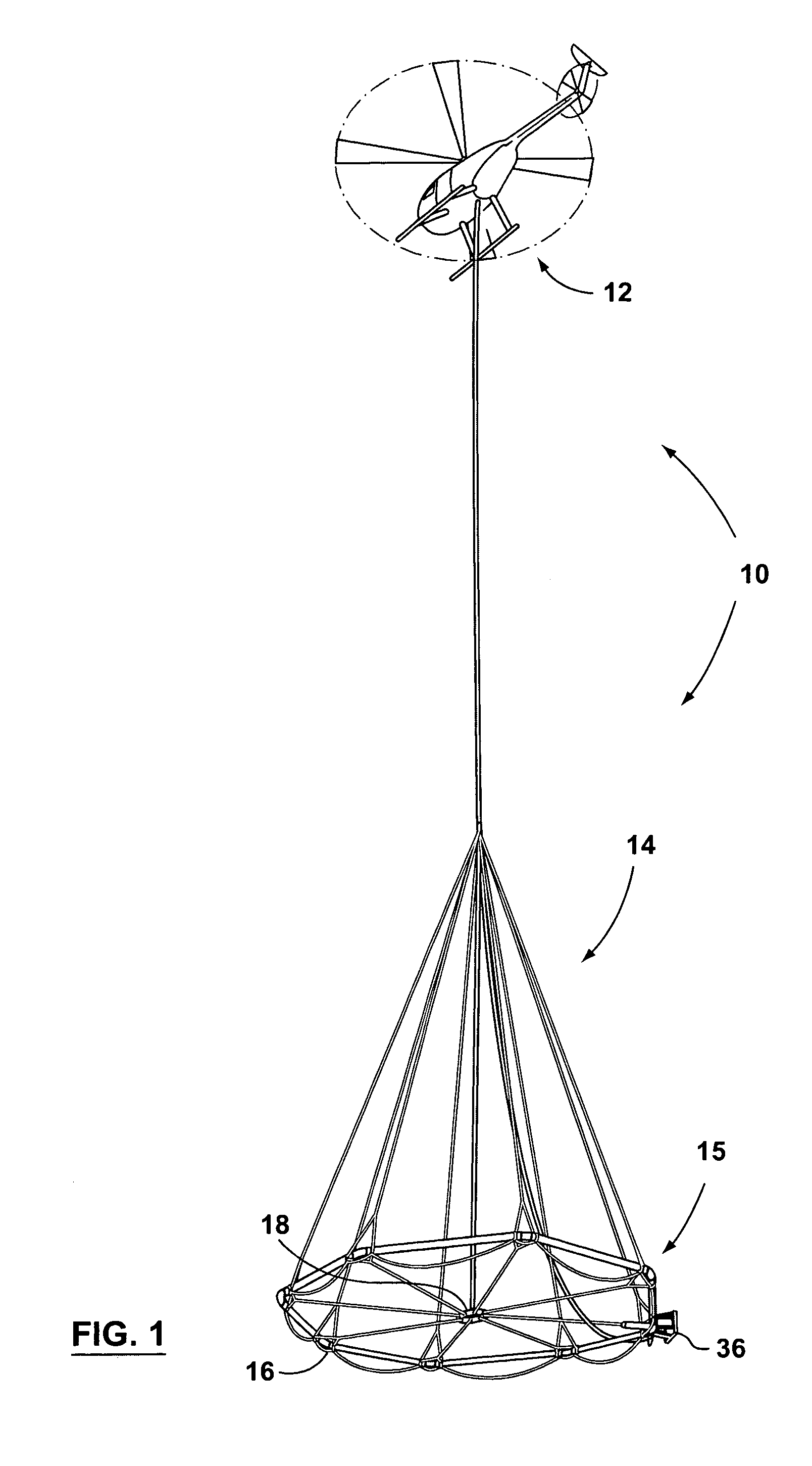
[0035]The present invention consists of an airborne TDEM survey system 10. The TDEM survey system 10 includes an aircraft 12 and a tow assembly 14. FIG. 1 illustrates an aircraft 12 that is a helicopter, however, other aircraft such as airplanes having desirable take-off and landing attributes from a geological survey perspective could also be used.
[0036]It should be understood that in one aspect of the present invention the tow assembly 14 is separate from the aircraft 12 but then attached thereto by a suitable attachment means. Provided that the flexible frame discussed below is provided, the tow assembly 14 could be integrated with an aircraft 12 to produce a geological surveying aircraft including a tow assembly 14 in accordance with the present invention.
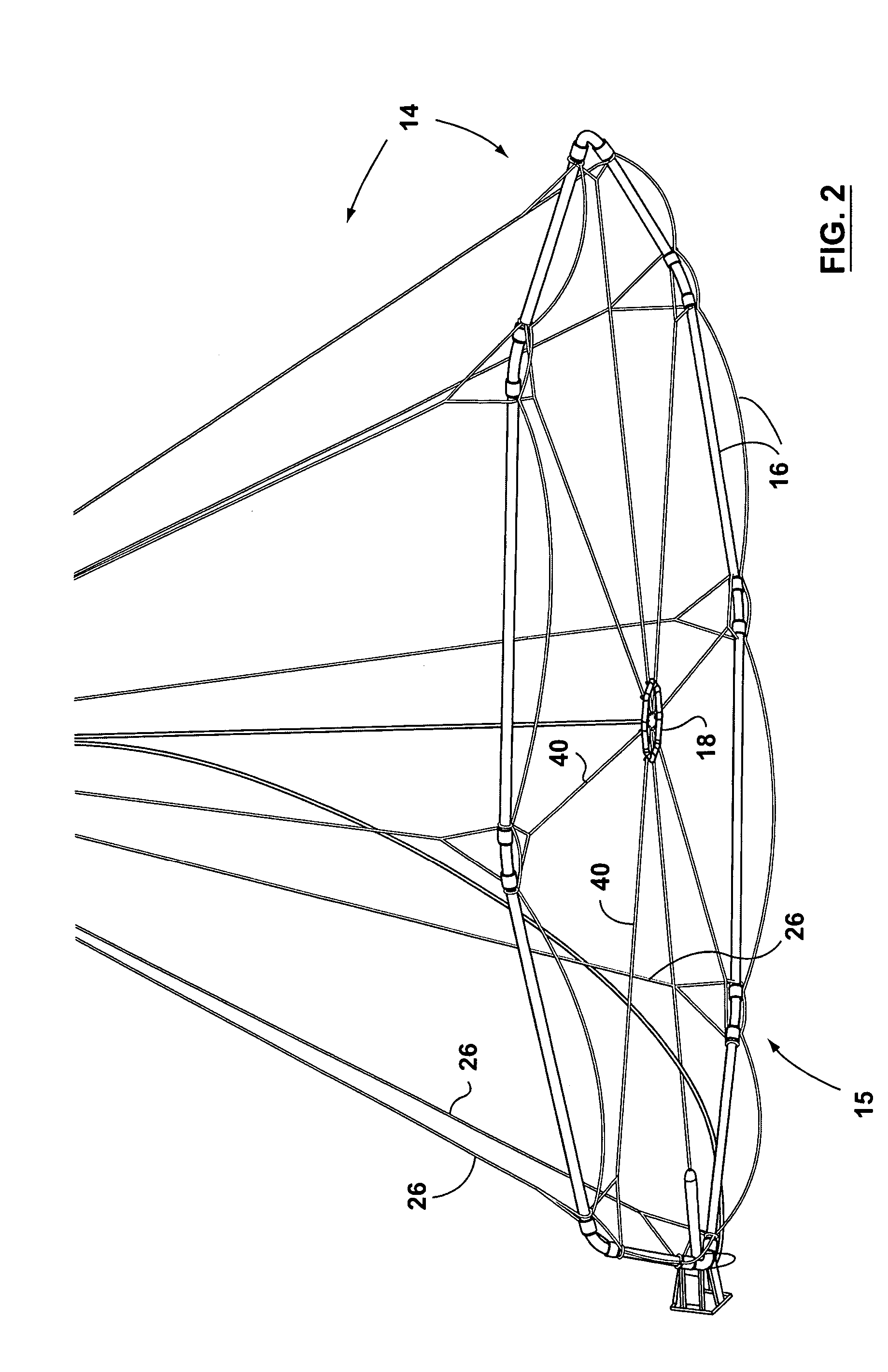
[0037]The tow assembly 14 of the present invention generally includes a flexible frame 15, as illustrated in FIG. 2. The flexible frame includes a transmitter section 16 and a receiver section 18. In accordance with the present...
PUM
 Abstract
Description
Claims
Application Information
 - R&D
- Intellectual Property
- Life Sciences
- Materials
- Tech Scout
- Unparalleled Data Quality
- Higher Quality Content
- 60% Fewer Hallucinations
Browse by: Latest US Patents, China's latest patents, Technical Efficacy Thesaurus, Application Domain, Technology Topic, Popular Technical Reports.
© 2025 PatSnap. All rights reserved.Legal|Privacy policy|Modern Slavery Act Transparency Statement|Sitemap|About US| Contact US: help@patsnap.com


