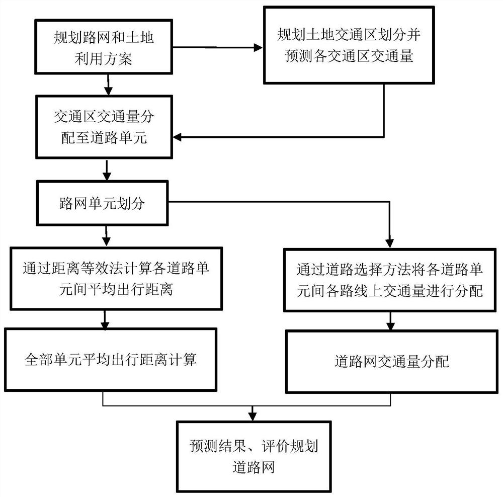
Method of Predicting Average Travel Distance and Congestion-prone Road Sections Based on Planning Road Network
A road network, averaging technology, applied in the direction of road vehicle traffic control system, traffic flow detection, instruments, etc., can solve problems such as road congestion that cannot be quantitatively reflected
- Summary
- Abstract
- Description
- Claims
- Application Information
AI Technical Summary
Problems solved by technology
Method used
Image
Examples
Embodiment 1
[0120] Road Network Density
[0122]
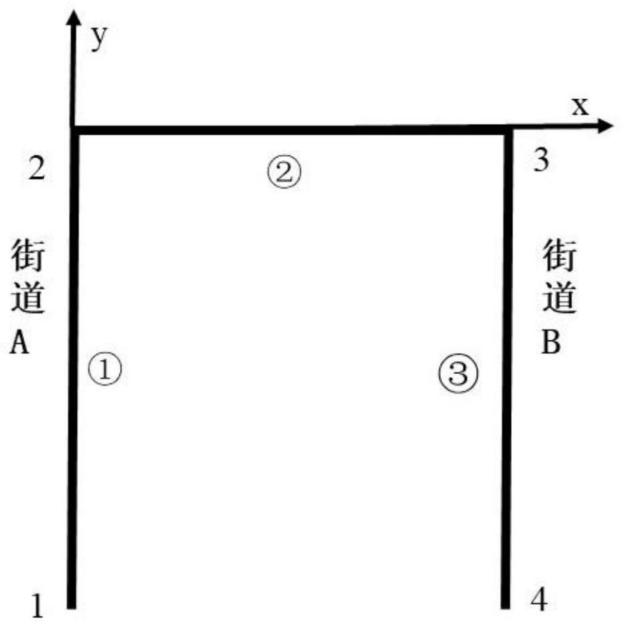
[0126] Next we perform the per capita travel distance calculation. Now, according to whether the starting and ending units of the traffic trip are the same, we
[0127]
[0129] P
[0130] For unit ③, we adopt a similar approach, where the traffic is distributed to nodes 3 and 4. Allocated to two
[0133]
[0135] The third step of the per capita travel distance calculation is the calculation of the intra-unit traffic distance. Here we take the intersection within unit ①
[0136]
[0139]
[0144] Using a certain traffic allocation method, the traffic volume between the units in the finite element method is allocated according to a specific path
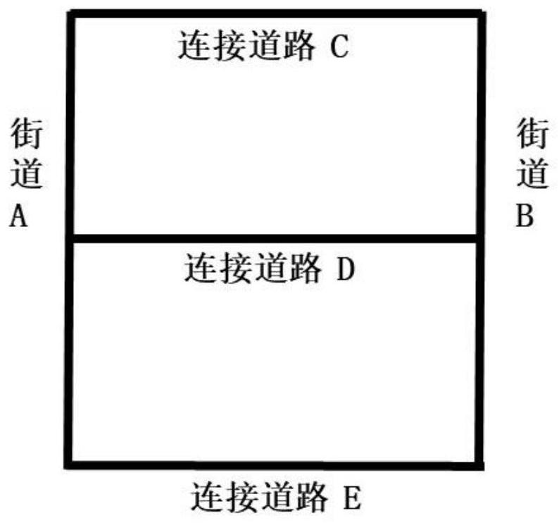
[0146] The planned connecting roads C, D, E are now selected. As shown in Table 2, we compare the performance of 7 different connection methods
[0148]
PUM
 Abstract
Description
Claims
Application Information
 - R&D
- Intellectual Property
- Life Sciences
- Materials
- Tech Scout
- Unparalleled Data Quality
- Higher Quality Content
- 60% Fewer Hallucinations
Browse by: Latest US Patents, China's latest patents, Technical Efficacy Thesaurus, Application Domain, Technology Topic, Popular Technical Reports.
© 2025 PatSnap. All rights reserved.Legal|Privacy policy|Modern Slavery Act Transparency Statement|Sitemap|About US| Contact US: help@patsnap.com


