Automatic trajectory planning method for unmanned helicopter pesticide spraying farmland operation area
A technology for unmanned helicopters and work areas, which is applied in the field of automatic planning of the flight path of unmanned helicopter pesticide spraying farmland work areas, to achieve the effects of easy implementation, improved spraying efficiency, and simple calculation
- Summary
- Abstract
- Description
- Claims
- Application Information
AI Technical Summary
Problems solved by technology
Method used
Image
Examples
Embodiment Construction
[0072] The inventive method is as follows:
[0073] (1) Local optimal S-shaped track planning
[0074] 1. Digital farmland operation area
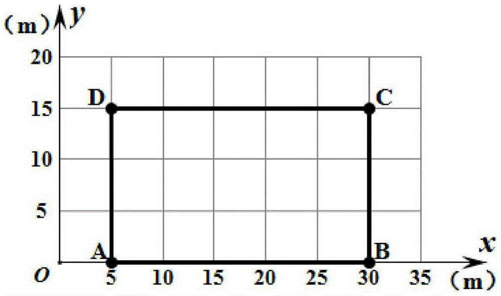
[0075] Digital maps are the main source of information for track planning. Most of the research on digital maps at home and abroad uses the grid method to divide the terrain into equally spaced grids. The grid spacing is selected according to the actual situation required.
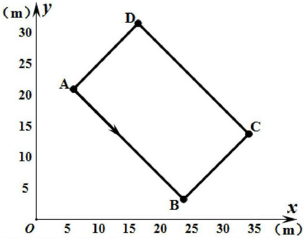
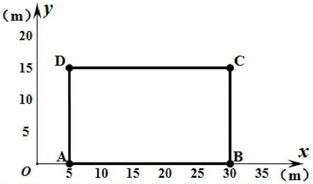
[0076] The invention utilizes the grid method to digitize the farmland operation area. That is, for farmland with an area of ((x,y)|0≤x≤a, 0≤y≤b), the x-axis and y-axis are divided into small cells according to a given interval to obtain a discretized farmland area.
[0077] Without loss of generality, for any polygonal farmland area, assuming that the number of vertices is n, then the starting point that can be used as the trajectory planning is equal to n. For each starting vertex, in order to ensure that the track can cover the entire area, the best starting he...
PUM
 Abstract
Description
Claims
Application Information
 - R&D
- Intellectual Property
- Life Sciences
- Materials
- Tech Scout
- Unparalleled Data Quality
- Higher Quality Content
- 60% Fewer Hallucinations
Browse by: Latest US Patents, China's latest patents, Technical Efficacy Thesaurus, Application Domain, Technology Topic, Popular Technical Reports.
© 2025 PatSnap. All rights reserved.Legal|Privacy policy|Modern Slavery Act Transparency Statement|Sitemap|About US| Contact US: help@patsnap.com


